Soeda to Takamori Cycling Route
Saves as a new trip plan. The original stays as-is.
Safety Summary
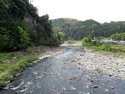
This 126 km route runs from Soeda to Takamori, passing through Fukuoka, Kumamoto, and Oita. No bear sightings were reported within 5 km of the route in the past 30 days.
Standard precautions are enough. Stay alert and tell someone your plans.
Your Route
Route Profile
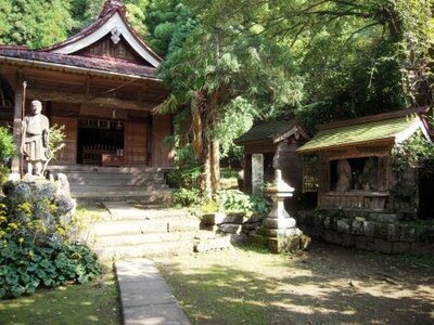
Highlights Along Your Route (2)
2 places within 1 km of your route, passing through Fukuoka, Kumamoto, Oita.
Route Timeline
When Are Bears Most Active?
Safety Checklist
Hiking in bear country
Safety picks and trail essentials, top-rated on Amazon and Rakuten.
Emergency Contacts
For mountain rescue, call 110 (police). They will coordinate with local rescue teams.

Like what you see? Plan your own.
Draw any route in Japan and get the same bear-safety report, built around the trip you're actually taking.
- Same incident database powering this report
- Risk forecast tuned to your exact route
- Free, instant, no sign-up
Comments (0)
No comments yet.
Frequently Asked Questions About This Route
How many bear sightings are on this route?
No bear sightings were reported within 5 km of the route in the past 30 days.
When and where was the most recent bear sighting near this route?
No recent bear sightings within 5 km of this route.
What time of day are bears most active here?
No time-of-day data available for this route.
Is this route safe to travel right now?
This 126 km route runs from Soeda to Takamori, passing through Fukuoka, Kumamoto, and Oita. No bear sightings were reported within 5 km of the route in the past 30 days. Standard precautions are enough. Stay alert and tell someone your plans.