News Brown Bear Akaigawa, Mori Town (along Route 5), Hokkaido Nov 14, 2025, 04:10 PM
0 views
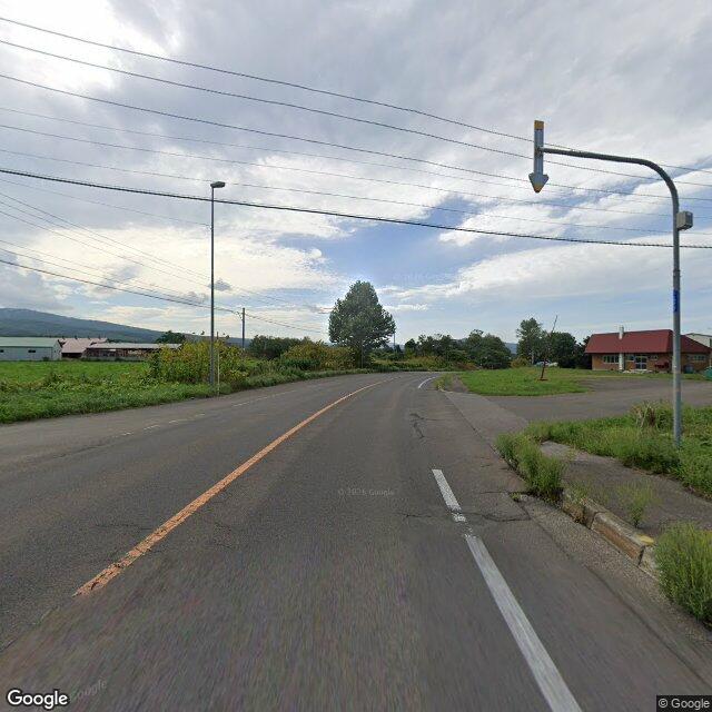
Location
Description
On the afternoon of November 14 a roughly 1-meter-long bear was repeatedly sighted along Route 5 in Akaigawa, Mori Town. The bear approached to about 5 meters from a car before disappearing into bushes toward the Dōō Expressway; police and town officials searched the area but found no traces.
Note: Official sources provide information in Japanese only. This description has been machine translated for your convenience.
Bear Type
Brown Bear
Number of Bears
1
Provider Type
News
Date & Time
Friday, November 14, 2025 at 04:10 PM
Address
Akaigawa, Mori Town (along Route 5), Hokkaido
Coordinates
42.778558, 140.677966
Related Areas
Comments (0)
No comments yet.
Hiking in bear country
Safety picks and trail essentials, top-rated on Amazon and Rakuten.

