Location
Description
A bear appeared about 50 m south of an intersection with the national road, ran alongside a southbound car, then fled to southeast farmland.
Note: Official sources provide information in Japanese only. This description has been machine translated for your convenience.
Bear Type
Brown Bear
Number of Bears
1
Provider Type
Official
Date & Time
Saturday, May 3, 2025
Address
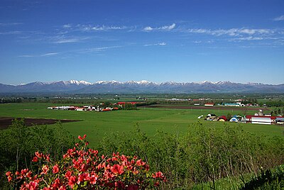
Abira, Hokkaido
Coordinates
42.866138, 141.822711
Related Areas
Nearby places of interest
School 647 m
Oiwake High School
Hokkaido ·3 incidents
School 817 m
Oiwake Junior High School
Hokkaido ·3 incidents
Shrine or Temple 887 m
Kenryou Tera Kuri
見龍寺庫裡
Hokkaido ·3 incidents
Shrine or Temple 900 m
Tenri Kyou Yuumei Fun Kyoukai
天理教勇名分教会
Hokkaido ·3 incidents
Community Centre 909 m
Oiwake Jidou Kan
追分児童館
Hokkaido ·3 incidents
Kindergarten 921 m
Oiwake Kodomo Sono
おいわけ子ども園
Hokkaido ·3 incidents
Campground 1.0 km
Yayoi Paakukyanpu Ba
弥生パークキャンプ場
Hokkaido ·2 incidents
Community Centre 1.1 km
Oiwake Fureai Sentaa I ・ Bu ・ Ki
追分ふれあいセンター い・ぶ・き
Hokkaido ·3 incidents
Comments (0)
No comments yet.
Hiking in bear country
Safety picks and trail essentials, top-rated on Amazon and Rakuten.
