Official Black Bear Hamamatsu Haruno-cho Horinouchi, Shizuoka Nov 30, 2023
0 views
Location
Description
No description provided
Bear Type
Black Bear
Number of Bears
1
Provider Type
Official
Date & Time
Thursday, November 30, 2023
Address
Hamamatsu Haruno-cho Horinouchi, Shizuoka
Coordinates
34.960223, 137.906982
Related Areas

Nearby places of interest
Kindergarten 837 m
Inui Youchien
犬居幼稚園
Shizuoka ·8 incidents
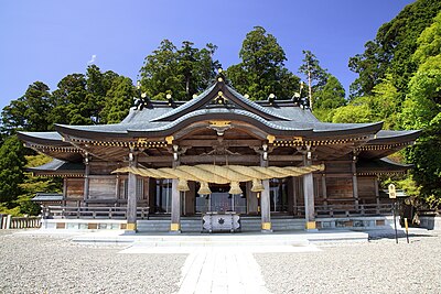
Shrine or Temple 964 m
Zuiun In
瑞雲院
Shizuoka ·8 incidents
Monument 984 m
Zuiun Terayama Mon
瑞雲寺山門
Shizuoka ·10 incidents
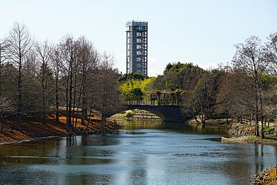
Attraction 1.4 km
Inui Yado
犬居宿
Shizuoka ·10 incidents
Viewpoint 1.6 km
Inui Joushi Bourou
犬居城址望楼
Shizuoka ·8 incidents
Ruins 1.6 km
Inui Joushi
犬居城址
Shizuoka ·8 incidents
Mountain 2.2 km
Mt. 357 mine
Shizuoka ·11 incidents
Mountain 3.1 km
Mt. Shiro
Shizuoka ·11 incidents
Comments (0)
No comments yet.
Hiking in bear country
Safety picks and trail essentials, top-rated on Amazon and Rakuten.