Location
Description
While driving on Route 290, saw one bear near the Shimoda government office. It moved toward the western hillside.
Note: Official sources provide information in Japanese only. This description has been machine translated for your convenience.
Bear Type
Black Bear
Number of Bears
1
Provider Type
Official
Date & Time
Saturday, September 20, 2025 at 12:25 AM
Address
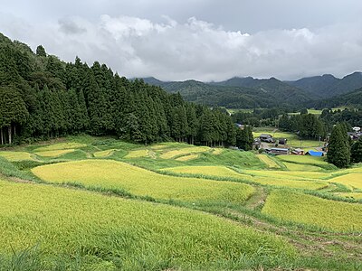
Sanjo 荻堀, Niigata
Coordinates
37.571286, 139.032104
Related Areas
Nearby places of interest
School 609 m
Sanjou Shiritsu Shimoda Chuugakkou
三条市立 下田中学校
Niigata ·46 incidents
Attraction 1.2 km
Shimoda Sato Shiryoukan
下田郷資料館
Niigata ·74 incidents
School 1.4 km
Sanjou Shiritsu Nagasawa Shougakkou
三条市立 長沢小学校
Niigata ·46 incidents
School 1.5 km
Sanjou Shiritsu Iida Shougakkou
三条市立 飯田小学校
Niigata ·51 incidents
Comments (0)
No comments yet.
Hiking in bear country
Safety picks and trail essentials, top-rated on Amazon and Rakuten.