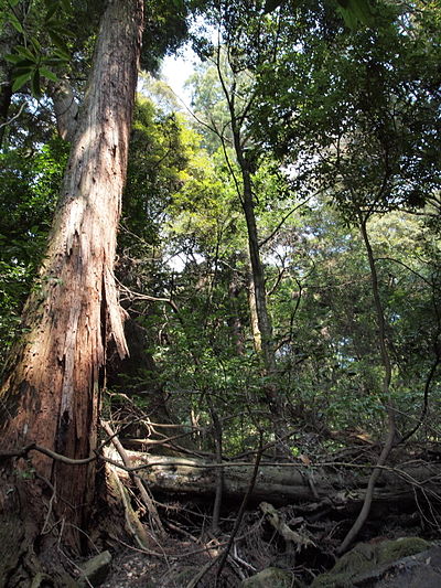
Location
Description
From the direction of the Kizu River, it crossed the guardrail, crossed Route 163, and moved into the hillside near the Sagara Health Center.
Note: Official sources provide information in Japanese only. This description has been machine translated for your convenience.
Bear Type
Black Bear
Number of Bears
1
Provider Type
Official
Date & Time
Saturday, May 31, 2025
Address
Kizugawa Kamocho-Hokkejino, Nara
Coordinates
34.757469, 135.840804
Related Areas

Nearby places of interest
Museum 868 m
Kyoutofuritsu Yamashiro Kyoudo Shiryoukan ( Furusato Myuujiamu Yamashiro )
京都府立山城郷土資料館(ふるさとミュージアム山城)
Kyoto ·16 incidents
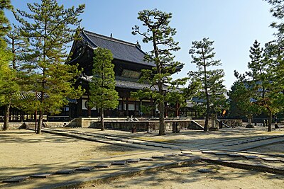
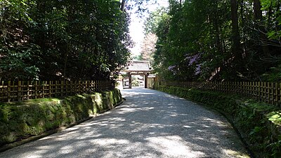
Shrine or Temple 999 m
Tenjin Jinja
天神神社
Kyoto ·10 incidents
Mountain 1.3 km
Mount Kaseyama
Kyoto ·138 incidents
Mountain 1.3 km
Oono Yama
大野山
Kyoto ·140 incidents
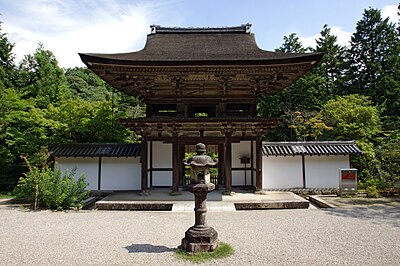
Shrine or Temple 1.4 km
Katte Jinja ・ Kasuga Jinja
勝手神社・春日神社
Kyoto ·40 incidents
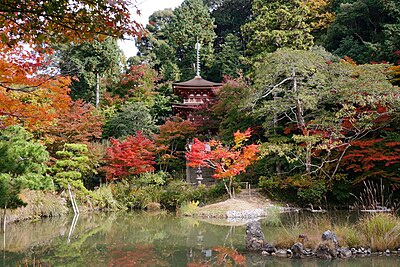
Shrine or Temple 1.4 km
Kawara Emi Hisashi Jinja
河原恵美寿神社
Kyoto ·36 incidents
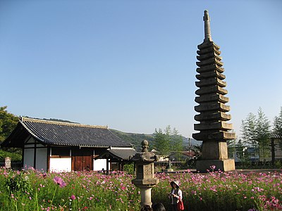
Castle Ruins 1.6 km
Kourai Jiseki
高麗寺跡
Kyoto ·24 incidents
Castle Ruins 1.7 km
Kokoro Hikari Ioriato
心光庵跡
Kyoto ·36 incidents
Comments (0)
No comments yet.
Hiking in bear country
Safety picks and trail essentials, top-rated on Amazon and Rakuten.
