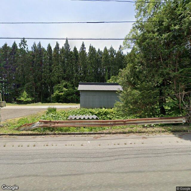
Kumamap Kumamap Kumamap
Map Areas Trip Planner Sponsor Alerts Report
English 日本語 한국어 简体中文 繁體中文 ไทย
Sign in
Sign in
Map Areas Trip Planner Sponsor Alerts Report
English 日本語 한국어 简体中文 繁體中文 ไทย
  1. Home
  2. Aomori
  3. Shichinohe
  4. Shichinohe 菩提木
Incident photo 1

Official Black Bear Shichinohe 菩提木, Aomori Jun 2, 2026, 05:00 AM

0 views
Saw one too? Report it

Location

Description

A bear was sighted heading west from the Bodai tree area.

Note: Official sources provide information in Japanese only. This description has been machine translated for your convenience.

Bear Type

Black Bear

Number of Bears

1

Provider Type

Official

Date & Time

Tuesday, June 2, 2026 at 05:00 AM

Address

Shichinohe 菩提木, Aomori

Coordinates

40.794134, 141.145215

Sources

https://kumalog-aomori.info/sightings

Related Areas

Aomori
Very High Risk

Aomori

8,657 incidents

Lake Ogawara
Moderate Risk

Lake Ogawara

Aomori

492 incidents

Shichinohe
Moderate Risk

Shichinohe

Aomori

217 incidents

Aomori
Very High Risk

Aomori

8,657 incidents

Lake Ogawara
Moderate Risk

Lake Ogawara

Aomori

492 incidents

Shichinohe
Moderate Risk

Shichinohe

Aomori

217 incidents

Nearby places of interest

Train Station 1.3 km

Chibiki

Aomori ·14 incidents

Train Station 1.3 km

Chibiki

Aomori ·14 incidents

Comments (0)

0/2000

No comments yet.

Plan Your Trip Risk Map

Hiking in bear country

Safety picks and trail essentials, top-rated on Amazon and Rakuten.

Nearby Incidents

Official

Shichinohe 北天間舘, Aomori

333 m

7 years ago

Official

Tohoku 向平, Aomori

574 m

2 years ago

Official

Shichinohe 菩提木, Aomori

611 m

2 years ago

Official

Shichinohe 菩提木, Aomori

618 m

2 years ago

Official

Shichinohe 柳平, Aomori

658 m

6 years ago

Official

Shichinohe 上平, Aomori

717 m

11 months ago

Official

Tohoku 向平, Aomori

753 m

2 years ago

Official

Shichinohe 後平, Aomori

1.0 km

6 years ago

Official

Shichinohe 北天間舘, Aomori

333 m

7 years ago

Official

Tohoku 向平, Aomori

574 m

2 years ago

Official

Shichinohe 菩提木, Aomori

611 m

2 years ago

Official

Shichinohe 菩提木, Aomori

618 m

2 years ago

Official

Shichinohe 柳平, Aomori

658 m

6 years ago

Official

Shichinohe 上平, Aomori

717 m

11 months ago

Official

Tohoku 向平, Aomori

753 m

2 years ago

Official

Shichinohe 後平, Aomori

1.0 km

6 years ago

Kumamap Kumamap

Track bear incidents across Japan. Stay safe outdoors.

Explore

Map Account Areas Places of Interest Predictions Near Me Trip Planner Trip Reports Community Alerts Gear

Learn

Bear Safety Guides Blog News Data FAQ

Mobile

iOS App Android App LINE WhatsApp

Company

About Contact Report Sponsor

Legal

Privacy Terms Commercial Disclosure
© 2026 Kumamap