Location
Description
No description provided
Bear Type
Black Bear
Number of Bears
1
Provider Type
Official
Date & Time
Wednesday, June 23, 2021
Address
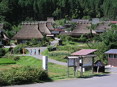
Nantan Miyamacho-Shimo, Kyoto
Coordinates
35.322936, 135.647031
Related Areas
Nearby places of interest
Kindergarten 1.1 km
Chii Hoikusho
知井保育所
Kyoto ·10 incidents
School 1.1 km
Shiritsu Chii Shougakkou
市立知井小学校
Kyoto ·10 incidents
Hotel 1.5 km
Miyama Machi Shizen Bunkamura Kajika Sou
美山町自然文化村 河鹿荘
Kyoto ·13 incidents
Mountain 1.6 km
Oku Ke Tsui Yama
奥ヶ追山
Kyoto ·27 incidents
Campground 1.8 km
Miyama Machi Shizen Bunkamura Kyanpu Ba
美山町自然文化村キャンプ場
Kyoto ·7 incidents
Mountain 2.2 km
San Ke Taniyama
三ヶ谷山
Kyoto ·37 incidents
Mountain 2.2 km
Iso Kiyama
磯木山
Kyoto ·33 incidents
Waterfall 2.4 km
Fudou Mikoto No Taki
不動尊の滝
Kyoto ·14 incidents
Comments (0)
No comments yet.
Hiking in bear country
Safety picks and trail essentials, top-rated on Amazon and Rakuten.