Kumamap Kumamap Kumamap
Map Areas Trip Planner Sponsor Alerts Report
English 日本語 한국어 简体中文 繁體中文 ไทย
Sign in
Sign in
Map Areas Trip Planner Sponsor Alerts Report
English 日本語 한국어 简体中文 繁體中文 ไทย
  1. Home
  2. Aomori
  3. Shichinohe
  4. Shichinohe 太田
Incident photo 1

Official Black Bear Shichinohe 太田, Aomori Jun 11, 2026, 10:23 PM

0 views
Saw one too? Report it

Location

Description

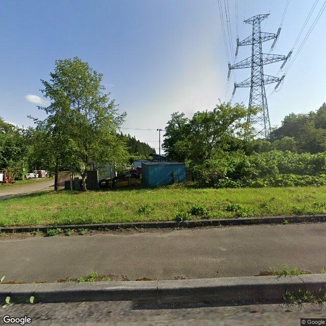
While driving, witnessed a bear heading east.

Note: Official sources provide information in Japanese only. This description has been machine translated for your convenience.

Bear Type

Black Bear

Number of Bears

1

Provider Type

Official

Date & Time

Thursday, June 11, 2026 at 10:23 PM

Address

Shichinohe 太田, Aomori

Coordinates

40.681838, 141.167615

Sources

https://kumalog-aomori.info/sightings

Related Areas

Aomori
Very High Risk

Aomori

8,657 incidents

Lake Ogawara
Moderate Risk

Lake Ogawara

Aomori

492 incidents

Shichinohe
Moderate Risk

Shichinohe

Aomori

217 incidents

Aomori
Very High Risk

Aomori

8,657 incidents

Lake Ogawara
Moderate Risk

Lake Ogawara

Aomori

492 incidents

Shichinohe
Moderate Risk

Shichinohe

Aomori

217 incidents

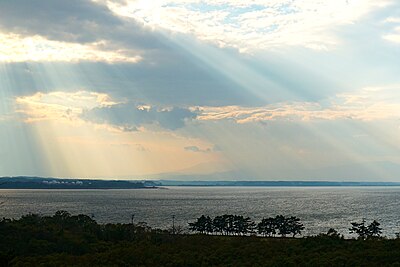
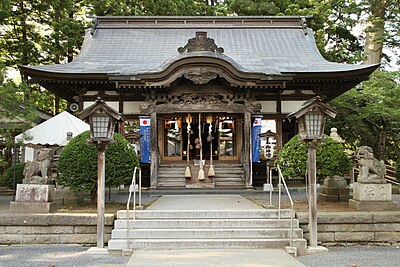
Nearby places of interest

School 1.0 km

Shichinohe Chouritsu Jounan Shougakkou

七戸町立城南小学校

Aomori ·29 incidents

School 1.3 km

Aomoriken Ritsu Shichinohe Koutougakkou

青森県立七戸高等学校

Aomori ·34 incidents

School 1.0 km

Shichinohe Chouritsu Jounan Shougakkou

七戸町立城南小学校

Aomori ·29 incidents

School 1.3 km

Aomoriken Ritsu Shichinohe Koutougakkou

青森県立七戸高等学校

Aomori ·34 incidents

Comments (0)

0/2000

No comments yet.

Plan Your Trip Risk Map

Hiking in bear country

Safety picks and trail essentials, top-rated on Amazon and Rakuten.

Nearby Incidents

Official

Shichinohe 川去, Aomori

160 m

10 months ago

Official

Shichinohe 太田, Aomori

172 m

6 years ago

Official

Shichinohe 太田, Aomori

297 m

9 months ago

Official

Shichinohe 川去, Aomori

372 m

2 years ago

Shichinohe 太田, Aomori
Community

Shichinohe 太田, Aomori

389 m

1 month ago

Official

Shichinohe 川去, Aomori

479 m

10 months ago

Official

Shichinohe 川去, Aomori

573 m

10 months ago

Official

Towada Osawada, Aomori

700 m

7 years ago

Official

Shichinohe 川去, Aomori

160 m

10 months ago

Official

Shichinohe 太田, Aomori

172 m

6 years ago

Official

Shichinohe 太田, Aomori

297 m

9 months ago

Official

Shichinohe 川去, Aomori

372 m

2 years ago

Shichinohe 太田, Aomori
Community

Shichinohe 太田, Aomori

389 m

1 month ago

Official

Shichinohe 川去, Aomori

479 m

10 months ago

Official

Shichinohe 川去, Aomori

573 m

10 months ago

Official

Towada Osawada, Aomori

700 m

7 years ago

Kumamap Kumamap

Track bear incidents across Japan. Stay safe outdoors.

Explore

Map Account Areas Places of Interest Predictions Near Me Trip Planner Trip Reports Community Alerts Gear

Learn

Bear Safety Guides Blog News Data FAQ

Mobile

iOS App Android App LINE WhatsApp

Company

About Contact Report Sponsor

Legal

Privacy Terms Commercial Disclosure
© 2026 Kumamap