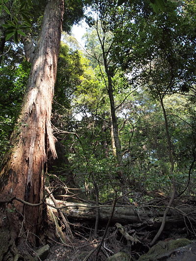
Location
Description
No description provided
Bear Type
Black Bear
Number of Bears
1
Provider Type
Official
Date & Time
Monday, June 30, 2025
Address
Kizugawa Kamocho-Okuhata, Kyoto
Coordinates
34.789536, 135.866476
Related Areas
Nearby places of interest
Mountain 428 m
Kitayama
北山
Kyoto ·58 incidents
Mountain 609 m
Mikami Yama
三上山
Kyoto ·83 incidents
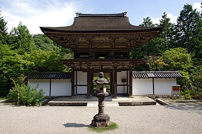
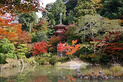
Shrine or Temple 1.4 km
Kaijusen-ji Temple
Kyoto ·5 incidents
Viewpoint 1.5 km
Ishidera No Chabatake
石寺の茶畑
Kyoto ·4 incidents
Campground 1.8 km
Yamashirocho shinrinkoen - rest village yamashiro
Yamashirocho Shinrinkoen - Rest Village Yamashiro
Kyoto ·2 incidents
Mountain 1.8 km
Ariou Yama
有王山
Kyoto ·33 incidents
Mountain 2.7 km
Ryuu Okayama
流岡山
Kyoto ·85 incidents
Mountain 2.9 km
Yamabuki Yama
山吹山
Kyoto ·39 incidents
Comments (0)
No comments yet.
Hiking in bear country
Safety picks and trail essentials, top-rated on Amazon and Rakuten.