Kumamap Kumamap Kumamap
Map Areas Trip Planner Sponsor Alerts Report
English 日本語 한국어 简体中文 繁體中文 ไทย
Sign in
Sign in
Map Areas Trip Planner Sponsor Alerts Report
English 日本語 한국어 简体中文 繁體中文 ไทย
  1. Home
  2. Areas
  3. Ishikari River

Tourism Spots · Hokkaido

Ishikari River Brown Bear Incidents

Brown Bear sighting and incident data compiled from official government records, news outlets, and community reports.

124 bear incidents recorded · Last updated 17 hours ago
Trip Plan Risk Map Bear Report
Incidents in last 7 days
0
Incidents in last 30 days
3
Latest
1 week ago
Ishikari River
Low Risk

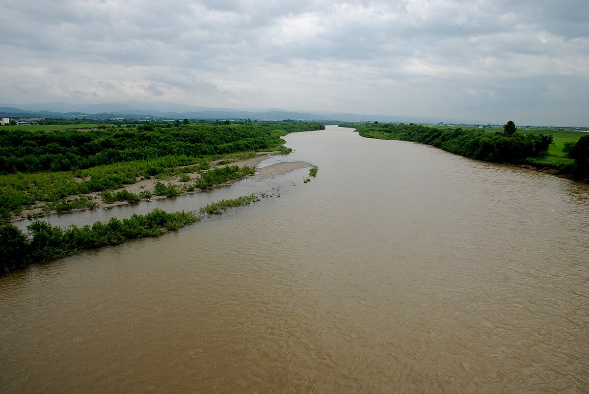
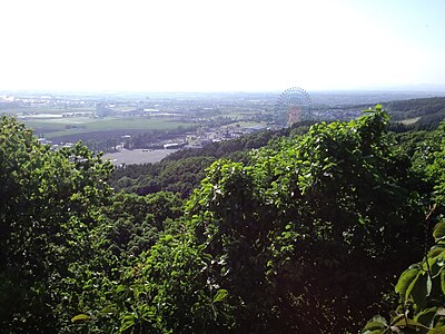
Latest Bear Activity in Ishikari River

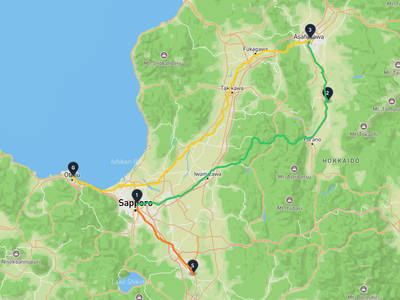
Ishikari River had a Brown Bear report in Bibai 盤の沢町本町 on June 16, 2026. There were 3 incidents in the past 30 days, with no new reports in the past 7 days. Activity is not increasing, but there are still reports within the month. Recent reports include Bibai 盤の沢町本町 and Sunagawa オアシス. The area has 124 recorded incidents in total.

Sponsorship open

Sponsor the Ishikari River page

The Ishikari River page was viewed 19 times in the last 30 days, as of 6/22/2026. For ¥980/month, your business can reach people checking local safety, planning where to go, what to prepare, and where to stop. Click estimate: 1-1. Approved sponsors appear as the only business ad on this page.

30-day views
19
Click estimate
1-1
Monthly price
¥980
Create free preview

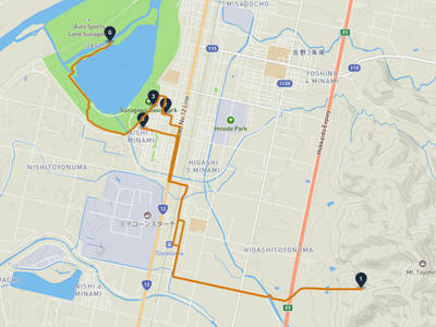
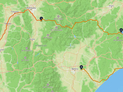
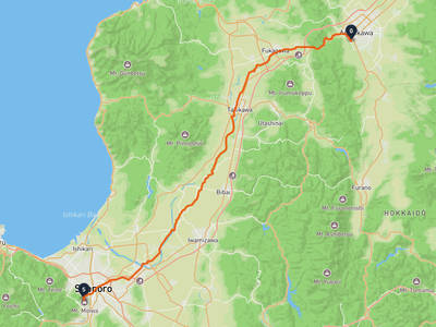
Ishikari River Bear Incident Map

Showing 120 of 120

No incidents in this time range

No incidents in this time range

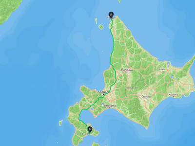
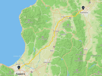
Recent trips through Ishikari River

Ishikari River

Ishikari River

5 stops · 3 weeks ago

14 views

Wakkanai → Goryōkaku Tower

Wakkanai → Goryōkaku Tower

2 stops · 1 month ago

269 views

Kita Ward, Sapporo → Asahikawa

Kita Ward, Sapporo → Asahikawa

2 stops · 1 month ago

20 views

Chitose → Otaru Canal

Chitose → Otaru Canal

5 stops · 1 month ago

13 views

Lorelei NeutralLisa Wischofskyhttps://www.figma.com/community/file/1198749693280469639https://creativecommons.org/publicdomain/zero/1.0/Remix of „Lorelei Neutral” (https://www.figma.com/community/file/1198749693280469639) by „Lisa Wischofsky”, licensed under „CC0 1.0” (https://creativecommons.org/publicdomain/zero/1.0/)
Thoughtful Stargazer @watcher-3e56f453
Shiroishi Ward, Sapporo → Makubetsu

Shiroishi Ward, Sapporo → Makubetsu

5 stops · 1 week ago

5 views

Mount Moiwa → Asahikawa

Mount Moiwa → Asahikawa

2 stops · 1 week ago

1 views

Ishikari River

Ishikari River

5 stops · 3 weeks ago

14 views

Wakkanai → Goryōkaku Tower

Wakkanai → Goryōkaku Tower

2 stops · 1 month ago

269 views

Kita Ward, Sapporo → Asahikawa

Kita Ward, Sapporo → Asahikawa

2 stops · 1 month ago

20 views

Chitose → Otaru Canal

Chitose → Otaru Canal

5 stops · 1 month ago

13 views

Lorelei NeutralLisa Wischofskyhttps://www.figma.com/community/file/1198749693280469639https://creativecommons.org/publicdomain/zero/1.0/Remix of „Lorelei Neutral” (https://www.figma.com/community/file/1198749693280469639) by „Lisa Wischofsky”, licensed under „CC0 1.0” (https://creativecommons.org/publicdomain/zero/1.0/)
Thoughtful Stargazer @watcher-3e56f453
Shiroishi Ward, Sapporo → Makubetsu

Shiroishi Ward, Sapporo → Makubetsu

5 stops · 1 week ago

5 views

Mount Moiwa → Asahikawa

Mount Moiwa → Asahikawa

2 stops · 1 week ago

1 views

Nearby Areas

Shin'i take
Low Risk

Shin'i take

12 km

45 incidents

Pinneshiri (Kabato)
Low Risk

Pinneshiri (Kabato)

13 km

39 incidents

Mikasa Railway Memorial Museum
Low Risk

Mikasa Railway Memorial Museum

28 km

47 incidents

Uryunuma Wetland
Low Risk

Uryunuma Wetland

33 km

33 incidents

Takisato Dam
Low Risk

Takisato Dam

34 km

158 incidents

Iwamizawa Park
Low Risk

Iwamizawa Park

36 km

26 incidents

Iku shun betsu take
Low Risk

Iku shun betsu take

37 km

9 incidents

Kirigishiyama
Low Risk

Kirigishiyama

37 km

11 incidents

Shin'i take
Low Risk

Shin'i take

12 km

45 incidents

Pinneshiri (Kabato)
Low Risk

Pinneshiri (Kabato)

13 km

39 incidents

Mikasa Railway Memorial Museum
Low Risk

Mikasa Railway Memorial Museum

28 km

47 incidents

Uryunuma Wetland
Low Risk

Uryunuma Wetland

33 km

33 incidents

Takisato Dam
Low Risk

Takisato Dam

34 km

158 incidents

Iwamizawa Park
Low Risk

Iwamizawa Park

36 km

26 incidents

Iku shun betsu take
Low Risk

Iku shun betsu take

37 km

9 incidents

Kirigishiyama
Low Risk

Kirigishiyama

37 km

11 incidents

Comments (0)

0/2000

No comments yet.

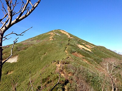
Hiking in bear country

Safety picks and trail essentials, top-rated on Amazon and Rakuten.

Frequently Asked Questions About Bears in Ishikari River

How many bear incidents have been recorded in Ishikari River?

Ishikari River has recorded 124 bear incidents in total, with 3 reported in the last 30 days and 0 in the last 7 days. These reports are compiled from official government sources, news outlets, and community submissions, and can be viewed on the incident map.

When and where was the latest bear incident in Ishikari River?

The most recent bear sighting in Ishikari River was on June 15, 2026 in Bibai 盤の沢町本町, Hokkaido, where 1 Brown Bear was reported. Detailed location and surrounding incidents are available on the incident map.

Where have bears appeared recently in Ishikari River?

Recent bear sightings in Ishikari River have been concentrated in Shintotsukawa (37), Shintotsukawa 字中央 (16), Shintotsukawa 字大和 (7). These areas have had multiple reports within the last 30 days.

Is bear activity increasing in Ishikari River?

Activity has slowed. 0 incidents in the last 7 days, 3 in the last 30 days.

What type of bears are in Ishikari River?

Ishikari River is home to brown bears (Ussuri brown bear), which can weigh up to 500kg and are found only in Hokkaido. They are active from spring through autumn. Always carry bear bells and bear spray when hiking.

Kumamap Kumamap

Track bear incidents across Japan. Stay safe outdoors.

Explore

Map Account Areas Places of Interest Predictions Near Me Trip Planner Trip Reports Community Alerts Gear

Learn

Bear Safety Guides Blog News Data FAQ

Mobile

iOS App Android App LINE WhatsApp

Company

About Contact Report Sponsor

Legal

Privacy Terms Commercial Disclosure
© 2026 Kumamap