
Tourism Spots · Hokkaido
Uryunuma Wetland Brown Bear Incidents
Brown Bear sighting and incident data compiled from official government records, news outlets, and community reports.
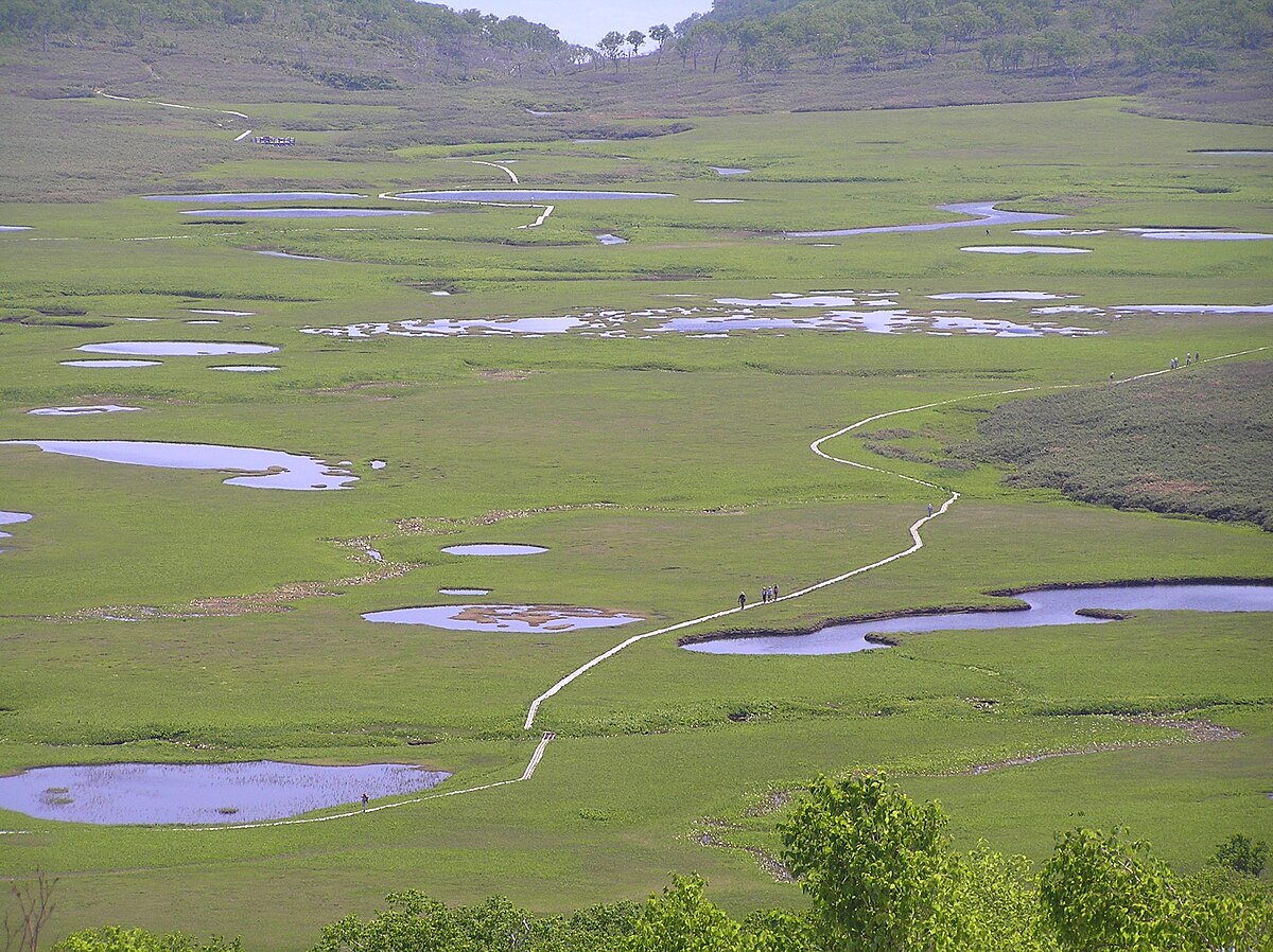
Latest Bear Activity in Uryunuma Wetland
Uryunuma Wetland had a Brown Bear report in Mashike 湯の沢 on June 25, 2026. There were 1 incidents in the past 30 days, with no new reports in the past 7 days. Activity is not increasing, but there are still reports within the month. Recent reports are centered on Mashike 湯の沢. The area has 34 recorded incidents in total.
Sponsor the Uryunuma Wetland page
The Uryunuma Wetland page was viewed 213 times in the last 30 days, as of 7/6/2026. For ¥980/month, your business can reach people checking local safety, planning where to go, what to prepare, and where to stop. Click estimate: 2-6. Approved sponsors appear as the only business ad on this page.
Uryunuma Wetland Bear Incident Map
No incidents in this time range
No incidents in this time range
Nearby Areas
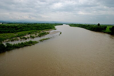
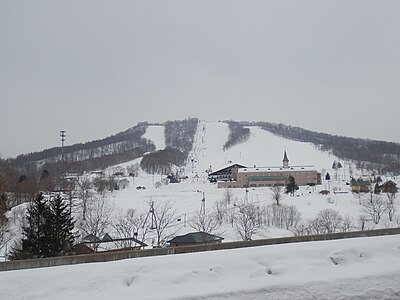
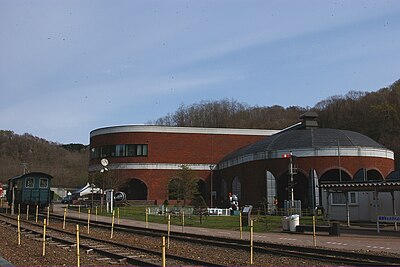
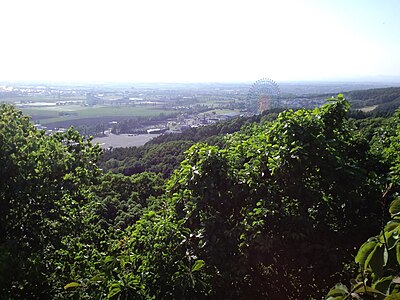
Comments (0)
No comments yet.
Hiking in bear country
Safety picks and trail essentials, top-rated on Amazon and Rakuten.
Frequently Asked Questions About Bears in Uryunuma Wetland
How many bear incidents have been recorded in Uryunuma Wetland?
Uryunuma Wetland has recorded 34 bear incidents in total, with 1 reported in the last 30 days and 0 in the last 7 days. These reports are compiled from official government sources, news outlets, and community submissions, and can be viewed on the incident map.
When and where was the latest bear incident in Uryunuma Wetland?
The most recent bear sighting in Uryunuma Wetland was on June 25, 2026 in Mashike 湯の沢, Hokkaido, where 1 Brown Bear was reported. Detailed location and surrounding incidents are available on the incident map.
Where have bears appeared recently in Uryunuma Wetland?
Recent bear sightings in Uryunuma Wetland have been concentrated in Shintotsukawa (20), Shintotsukawa 字吉野 (8), Shintotsukawa 字幌加 (2). These areas have had multiple reports within the last 30 days.
Is bear activity increasing in Uryunuma Wetland?
Activity has slowed. 0 incidents in the last 7 days, 1 in the last 30 days.
What type of bears are in Uryunuma Wetland?
Uryunuma Wetland is home to brown bears (Ussuri brown bear), which can weigh up to 500kg and are found only in Hokkaido. They are active from spring through autumn. Always carry bear bells and bear spray when hiking.