Let's share the latest bear information for the Mt. Takao & Okutama area
奥多摩散歩 4 months ago This post has been automatically translated.
0 views
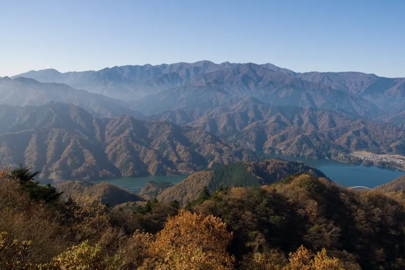
Bear sightings are increasing in the Mt. Takao and Okutama areas, which can be reached from Tokyo as a day trip.
There are more warning signs on Route 6 of Mt. Takao, and sightings around Yokota Air Base were reported in U.S. military media.
I saw on this site that appearances are heavily concentrated in western Tokyo.
Would you like to share the latest information in this thread?
- For those who climbed recently, how are the trails?
- Information on warning signs or trail closures
- Firsthand accounts from people who have seen bears
Comments (1)
Kumamap Team 4 months ago
高尾山エリアは239件、東京都全体で888件の出没記録です。ほぼ全て西多摩地域(奥多摩町、青梅市、八王子市、あきる野市)に集中してます。
高尾山の主要ルート:
- 1号路(表参道):年間260万人が利用。クマ遭遇リスクは極めて低い。
- 6号路(びわ滝コース):沢沿いで人が少ない。鈴推奨。
- 稲荷山コース:尾根道で見通しは良いが、朝夕は注意。
- 城山・景信山方面:奥に進むほどリスク上昇。
奥多摩は本格的なクマの生息域です。雲取山、鷹ノ巣山では熊鈴とスプレー携帯を推奨します。
注意すべき時期:
- 秋(9-11月):堅果類の凶作時は出没急増。10月は全国で26,277件。
- 春(4-5月):冬眠明けで活発
高尾山データ: kumamap.com/ja/areas/hiking/takao
皆さんの最新情報をぜひ共有してください。