Official Black Bear Senboku Kakunodatemachi-Kumoshikari, Akita Apr 30, 2026, 08:50 AM
0 views
Location
Description
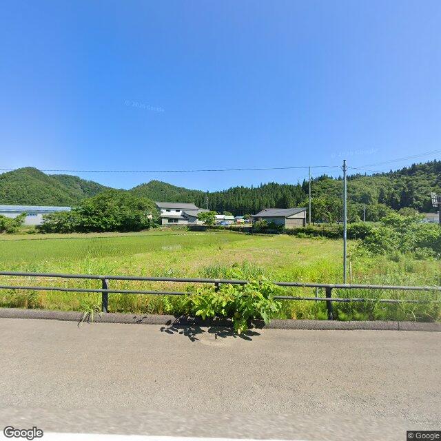
A bear about 0.5 m in body length was attempting to climb from a rice field up the slope of the bypass. Distance to nearby buildings approximately 60 m. Direction of departure unknown.
Note: Official sources provide information in Japanese only. This description has been machine translated for your convenience.
Bear Type
Black Bear
Number of Bears
1
Provider Type
Official
Date & Time
Thursday, April 30, 2026 at 08:50 AM
Address
Senboku Kakunodatemachi-Kumoshikari, Akita
Coordinates
39.594925, 140.541240
Sources
Related Areas


Nearby places of interest
Shrine or Temple 511 m
Kumo Sawa Inari Jinja
雲沢稲荷神社
Akita ·62 incidents
Shrine or Temple 653 m
Kumo Zen Hachimanjinja
雲然八幡神社
Akita ·109 incidents
Shrine or Temple 866 m
Hachinohe Yama Inari Jinja
八戸山稲荷神社
Akita ·141 incidents
Shrine or Temple 968 m
Tsukimi Dou Taki Waki Jinja
月見堂瀧脇神社
Akita ·57 incidents
Shrine or Temple 992 m
Myou Kyou Tera
妙教寺
Akita ·152 incidents
Shrine or Temple 1.1 km
Souka Gakkai
創価学会
Akita ·162 incidents
School 1.2 km
Kakunodate Junior High School
Akita ·178 incidents
School 1.3 km
Kakunodate Elementary School
Akita ·160 incidents
Comments (0)
No comments yet.
Hiking in bear country
Safety picks and trail essentials, top-rated on Amazon and Rakuten.
