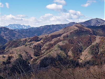
Location
Description
500 m west of the Mukuriya Trailhead.
Note: Official sources provide information in Japanese only. This description has been machine translated for your convenience.
Bear Type
Black Bear
Number of Bears
1
Provider Type
Official
Date & Time
Saturday, April 5, 2025
Address
Minano 笹原, Saitama
Coordinates
36.061133, 139.060699
Related Areas
Nearby places of interest
Mountain 650 m
Shi Nado Sankakuten Ippon Kuri
四等三角点一本栗
Saitama ·62 incidents
School 992 m
Chichibushi Ritsudai Ta Shougakkou
秩父市立大田小学校
Saitama ·13 incidents
School 1.0 km
Chichibushi Ritsudai Tanaka Gakkou
秩父市立大田中学校
Saitama ·13 incidents
Mountain 1.4 km
Mt. Happu
Saitama ·70 incidents
Mountain 1.7 km
Maehara One Koosu 2 Kyuu Kijunten 445m Mine
前原尾根コース2級基準点445m峰
Saitama ·78 incidents
Mountain 1.9 km
Maehara Yama
前原山
Saitama ·85 incidents
Mountain 2.0 km
Maehara Sanza Sa Piiku
前原山三叉ピーク
Saitama ·79 incidents
Mountain 2.0 km
Terayama ( Santou Sankakuten Hisanaga )
寺山(三等三角点 久長)
Saitama ·66 incidents
Comments (0)
No comments yet.
Hiking in bear country
Safety picks and trail essentials, top-rated on Amazon and Rakuten.