Location
Description
While hiking, near the Odakoshi hiking trail fifth station (location details unknown).
Note: Official sources provide information in Japanese only. This description has been machine translated for your convenience.
Bear Type
Black Bear
Number of Bears
1
Provider Type
Official
Date & Time
Saturday, June 11, 2022
Address
Miyako, Iwate
Coordinates
39.552621, 141.493302
Related Areas
Nearby places of interest
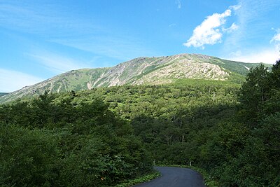
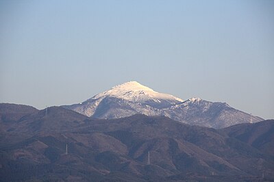
Mountain 737 m
Mt. Hayachine
Iwate ·1 incidents
Mountain 1.2 km
Mt. Hayachine-Kengamine
Iwate ·1 incidents
Attraction 1.8 km
Kawara No Bou
河原の坊
Iwate ·1 incidents
Campground 1.9 km
Kawara No Bou Kyanpu Ba
河原の坊キャンプ場
Iwate ·1 incidents
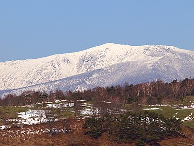
Mountain 2.5 km
Mt. Yakushi
Iwate ·1 incidents
Mountain 2.6 km
Mt. Naka
Iwate ·1 incidents
Mountain 4.2 km
Shouhaku Mori
小白森
Iwate ·1 incidents
Comments (0)
No comments yet.
Hiking in bear country
Safety picks and trail essentials, top-rated on Amazon and Rakuten.
