Location
Description
One adult (bear) walked off to the south.
Note: Official sources provide information in Japanese only. This description has been machine translated for your convenience.
Bear Type
Black Bear
Number of Bears
1
Provider Type
Official
Date & Time
Tuesday, June 2, 2026 at 10:30 AM
Address
Shichinohe 道ノ上, Aomori
Coordinates
40.742815, 141.157141
Related Areas

Nearby places of interest
School 614 m
Shichinohe Chouritsu Tenma Nishi Shougakkou
七戸町立天間西小学校
Aomori ·7 incidents
Campground 671 m
Chuuou Kouen Kyanpu Ba
中央公園キャンプ場
Aomori ·20 incidents
Park 811 m
Shichinohe Machijuu Ou Kouen
七戸町中央公園
Aomori ·5 incidents
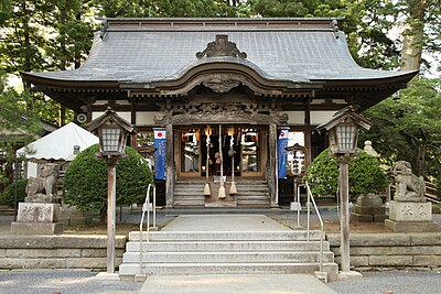
Shrine or Temple 969 m
Kumano Jinja
熊野神社
Aomori ·12 incidents
Park 989 m
Seseragi Hiroba
せせらぎ広場
Aomori ·5 incidents
School 1.2 km
Shichinohe Chouritsu Tenmabayashi Chuugakkou
七戸町立天間林中学校
Aomori ·6 incidents
Comments (0)
No comments yet.
Hiking in bear country
Safety picks and trail essentials, top-rated on Amazon and Rakuten.