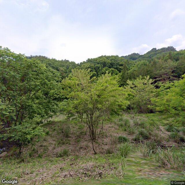
Location
Description
Around 10:00 on 2026-05-25, a bear was sighted in Shiga, Saku City, Nagano Prefecture.
Note: Official sources provide information in Japanese only. This description has been machine translated for your convenience.
Bear Type
Black Bear
Number of Bears
1
Provider Type
News
Date & Time
Sunday, May 24, 2026 at 03:00 PM
Address
Saku, Nagano
This news pin shows the reported area, not an exact point.
Coordinates
36.243119, 138.563754
Related Areas

Nearby places of interest
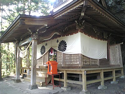
Shrine or Temple 785 m
Suwajinja
諏訪神社
Nagano ·6 incidents
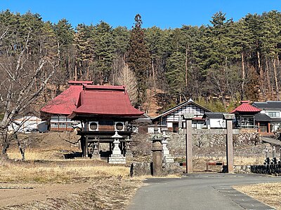
Shrine or Temple 982 m
Reidai Tera
霊台寺
Nagano ·7 incidents
Attraction 1.3 km
Suetoshi Bokujou
スエトシ牧場
Nagano ·6 incidents
Mountain 2.7 km
Tako No Mine
凧の峰
Nagano ·27 incidents
Mountain 2.7 km
Yori Ishiyama
寄石山
Nagano ·33 incidents
Mountain 3.7 km
Monomi Yama
物見山
Gunma ·31 incidents
Mountain 4.9 km
Mt. Kumakura
Gunma ·24 incidents
Comments (0)
No comments yet.
Hiking in bear country
Safety picks and trail essentials, top-rated on Amazon and Rakuten.
