Kumamap Kumamap Kumamap
Map Areas Trip Planner Sponsor Alerts Report
English 日本語 한국어 简体中文 繁體中文 ไทย
Sign in
Sign in
Map Areas Trip Planner Sponsor Alerts Report
English 日本語 한국어 简体中文 繁體中文 ไทย
  1. Home
  2. Aomori
  3. Takko
  4. Near the former Kamigo Elementary School (in front of Yamaguchi-dōmae)
Incident photo 1

News Black Bear Near the former Kamigo Elementary School (in front of Yamaguchi-dōmae), Aomori Feb 14, 2026, 06:30 AM

0 views
Saw one too? Report it

Location

Description

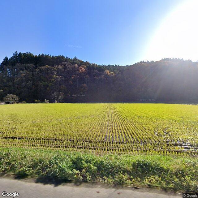
The town announced on the 14th that a single bear cub was sighted around 15:30 near the former Kamigo Elementary School in front of Yamaguchi-dōmae, Tago Town.

Note: Official sources provide information in Japanese only. This description has been machine translated for your convenience.

Bear Type

Black Bear

Number of Bears

1

Provider Type

News

Date & Time

Saturday, February 14, 2026 at 06:30 AM

Address

Near the former Kamigo Elementary School (in front of Yamaguchi-dōmae), Aomori

Coordinates

40.289681, 141.075634

Sources

https://www.toonippo.co.jp/articles/-/2210746

Related Areas

Aomori
Very High Risk

Aomori

8,680 incidents

Yoneshiro River
Moderate Risk

Yoneshiro River

Iwate

1,187 incidents

Takko
Low Risk

Takko

Aomori

57 incidents

Aomori
Very High Risk

Aomori

8,680 incidents

Yoneshiro River
Moderate Risk

Yoneshiro River

Iwate

1,187 incidents

Takko
Low Risk

Takko

Aomori

57 incidents

Nearby places of interest

Mountain 2.6 km

Akabira

赤平

Aomori ·25 incidents

Mountain 4.5 km

Mt. Asahinadake

Aomori ·20 incidents

Mountain 2.6 km

Akabira

赤平

Aomori ·25 incidents

Mountain 4.5 km

Mt. Asahinadake

Aomori ·20 incidents

Comments (1)

0/2000

Lorelei NeutralLisa Wischofskyhttps://www.figma.com/community/file/1198749693280469639https://creativecommons.org/publicdomain/zero/1.0/Remix of „Lorelei Neutral” (https://www.figma.com/community/file/1198749693280469639) by „Lisa Wischofsky”, licensed under „CC0 1.0” (https://creativecommons.org/publicdomain/zero/1.0/)
Steve S 4 months ago

That's a cub near a school building in the middle of the afternoon on the 14th.

Plan Your Trip Risk Map

Hiking in bear country

Safety picks and trail essentials, top-rated on Amazon and Rakuten.

Nearby Incidents

Official

Takko Heiseita, Aomori

191 m

4 years ago

Official

Takko Heiseita, Aomori

223 m

9 years ago

News

Former Kamigo Elementary School (Tago Town), Aomori

261 m

4 months ago

Official

Takko Heiseita, Aomori

278 m

4 months ago

Official

Takko Heiseita, Aomori

301 m

1 year ago

Official

Takko Heiseita, Aomori

375 m

8 years ago

Official

Takko Heiseita, Aomori

555 m

6 years ago

Official

Takko Yamaguchi, Aomori

981 m

9 months ago

Official

Takko Heiseita, Aomori

191 m

4 years ago

Official

Takko Heiseita, Aomori

223 m

9 years ago

News

Former Kamigo Elementary School (Tago Town), Aomori

261 m

4 months ago

Official

Takko Heiseita, Aomori

278 m

4 months ago

Official

Takko Heiseita, Aomori

301 m

1 year ago

Official

Takko Heiseita, Aomori

375 m

8 years ago

Official

Takko Heiseita, Aomori

555 m

6 years ago

Official

Takko Yamaguchi, Aomori

981 m

9 months ago

Kumamap Kumamap

Track bear incidents across Japan. Stay safe outdoors.

Explore

Map Account Areas Places of Interest Predictions Near Me Trip Planner Trip Reports Community Alerts Gear

Learn

Bear Safety Guides Blog News Data FAQ

Mobile

iOS App Android App LINE WhatsApp

Company

About Contact Report Sponsor

Legal

Privacy Terms Commercial Disclosure
© 2026 Kumamap