Kumamap Kumamap Kumamap
Map Areas Trip Planner Sponsor Alerts Report
English 日本語 한국어 简体中文 繁體中文 ไทย
Sign in
Sign in
Map Areas Trip Planner Sponsor Alerts Report
English 日本語 한국어 简体中文 繁體中文 ไทย
  1. Home
  2. Akita
  3. Semboku
  4. Senboku
Incident photo 1

Community Black Bear Senboku, Akita Jun 13, 2026, 03:30 AM

0 views
Saw one too? Report it

Location

Description

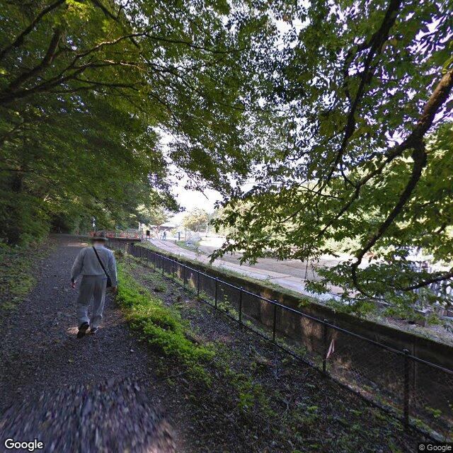
On the way back to the second parking lot from Kaiko Falls, near the parking area.

Bear Type

Black Bear

Number of Bears

1

Provider Type

Community

Date & Time

Saturday, June 13, 2026 at 03:30 AM

Address

Senboku, Akita

Coordinates

39.609214, 140.657997

Related Areas

Akita
Very High Risk

Akita

22,935 incidents

Dakigaeri Ravine
Very High Risk

Dakigaeri Ravine

Akita

2,048 incidents

Semboku
High Risk

Semboku

Akita

1,415 incidents

Lake Tazawa
High Risk

Lake Tazawa

Akita

1,257 incidents

Waga take
Low Risk

Waga take

Iwate

197 incidents

Akita
Very High Risk

Akita

22,935 incidents

Dakigaeri Ravine
Very High Risk

Dakigaeri Ravine

Akita

2,048 incidents

Semboku
High Risk

Semboku

Akita

1,415 incidents

Lake Tazawa
High Risk

Lake Tazawa

Akita

1,257 incidents

Waga take
Low Risk

Waga take

Iwate

197 incidents

Comments (0)

0/2000

No comments yet.

Plan Your Trip Risk Map

Hiking in bear country

Safety picks and trail essentials, top-rated on Amazon and Rakuten.

Kumamap Kumamap

Track bear incidents across Japan. Stay safe outdoors.

Explore

Map Account Areas Places of Interest Predictions Near Me Trip Planner Trip Reports Community Alerts Gear

Learn

Bear Safety Guides Blog News Data FAQ

Mobile

iOS App Android App LINE WhatsApp

Company

About Contact Report Sponsor

Legal

Privacy Terms Commercial Disclosure
© 2026 Kumamap