Kumamap Kumamap Kumamap
Map Areas Trip Planner Sponsor Alerts Report
English 日本語 한국어 简体中文 繁體中文 ไทย
Sign in
Sign in
Map Areas Trip Planner Sponsor Alerts Report
English 日本語 한국어 简体中文 繁體中文 ไทย
  1. Home
  2. Hokkaido
  3. Shibecha
Incident photo 1

Community Brown Bear Shibecha, Hokkaido Jun 25, 2026, 05:53 AM

Lorelei NeutralLisa Wischofskyhttps://www.figma.com/community/file/1198749693280469639https://creativecommons.org/publicdomain/zero/1.0/Remix of „Lorelei Neutral” (https://www.figma.com/community/file/1198749693280469639) by „Lisa Wischofsky”, licensed under „CC0 1.0” (https://creativecommons.org/publicdomain/zero/1.0/)
True Observer @watcher-898b56ef
0 views
Saw one too? Report it

Location

Description

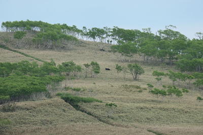
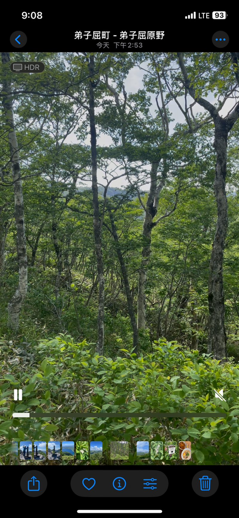
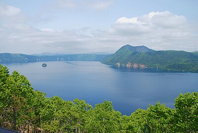
After descending from Mount Mashu, I saw large leaves moving in the trees about 100 meters before the junction with Mount Nishibetsu. I stopped to observe and made noise. Later, I saw the bear run down into the forest below.

Bear Type

Brown Bear

Number of Bears

1

Provider Type

Community

Date & Time

Thursday, June 25, 2026 at 05:53 AM

Address

Shibecha, Hokkaido

Coordinates

43.556510, 144.568062

Related Areas

Hokkaido
Very High Risk

Hokkaido

15,372 incidents

Shibecha
Low Risk

Shibecha

Hokkaido

363 incidents

Lake Mashū
Low Risk

Lake Mashū

Hokkaido

54 incidents

Mount Kamui (Lake Mashū caldera)
Low Risk

Mount Kamui (Lake Mashū caldera)

Hokkaido

35 incidents

Hokkaido
Very High Risk

Hokkaido

15,372 incidents

Shibecha
Low Risk

Shibecha

Hokkaido

363 incidents

Lake Mashū
Low Risk

Lake Mashū

Hokkaido

54 incidents

Mount Kamui (Lake Mashū caldera)
Low Risk

Mount Kamui (Lake Mashū caldera)

Hokkaido

35 incidents

Nearby places of interest

Mountain 875 m

Mount Nushubetsu

Hokkaido ·4 incidents

Mountain 1.2 km

Mount Nishibetsu

Hokkaido ·4 incidents

Mountain 1.7 km

Mount Risuke

Hokkaido ·3 incidents

Volcano 1.8 km

Mt. Kamuinupuri

Hokkaido ·3 incidents

Mountain 875 m

Mount Nushubetsu

Hokkaido ·4 incidents

Mountain 1.2 km

Mount Nishibetsu

Hokkaido ·4 incidents

Mountain 1.7 km

Mount Risuke

Hokkaido ·3 incidents

Volcano 1.8 km

Mt. Kamuinupuri

Hokkaido ·3 incidents

Comments (0)

0/2000

No comments yet.

Plan Your Trip Risk Map

Hiking in bear country

Safety picks and trail essentials, top-rated on Amazon and Rakuten.

Nearby Incidents

Teshikaga, Hokkaido
Community

Teshikaga, Hokkaido

1.2 km

1 week ago

Community

Teshikaga, Hokkaido

2.2 km

5 days ago

News

Teshikaga Harano, Teshikaga Town, Hokkaido

4.7 km

8 months ago

Official

Shibecha, Hokkaido

5.3 km

5 years ago

Official

Shibecha, Hokkaido

6.1 km

4 years ago

Official

Shibecha, Hokkaido

6.8 km

4 years ago

Official

Shibecha, Hokkaido

7.0 km

10 months ago

Official

Shibecha, Hokkaido

7.0 km

4 years ago

Teshikaga, Hokkaido
Community

Teshikaga, Hokkaido

1.2 km

1 week ago

Community

Teshikaga, Hokkaido

2.2 km

5 days ago

News

Teshikaga Harano, Teshikaga Town, Hokkaido

4.7 km

8 months ago

Official

Shibecha, Hokkaido

5.3 km

5 years ago

Official

Shibecha, Hokkaido

6.1 km

4 years ago

Official

Shibecha, Hokkaido

6.8 km

4 years ago

Official

Shibecha, Hokkaido

7.0 km

10 months ago

Official

Shibecha, Hokkaido

7.0 km

4 years ago

Kumamap Kumamap

Track bear incidents across Japan. Stay safe outdoors.

Explore

Map Account Areas Places of Interest Predictions Near Me Trip Planner Trip Reports Community Alerts Gear

Learn

Bear Safety Guides Blog News Data FAQ

Mobile

iOS App Android App LINE WhatsApp

Company

About Contact Report Sponsor

Legal

Privacy Terms Commercial Disclosure
© 2026 Kumamap