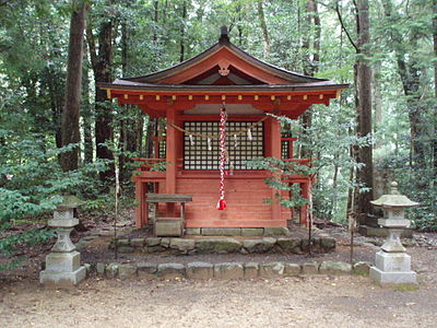
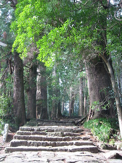
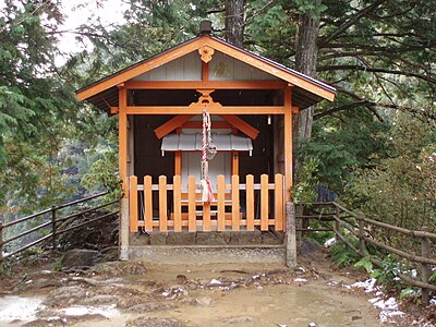
Kumamap Kumamap Kumamap
Map Areas Trip Planner Community Alerts Account
English 日本語 한국어 简体中文 繁體中文 ไทย
Report
Report
Map Areas Trip Planner Community Alerts Account
English 日本語 한국어 简体中文 繁體中文 ไทย
  1. Home
  2. Mie
  3. Kumano
  4. Kumano Kiwacho-Kizuro

Official Black Bear Kumano Kiwacho-Kizuro, Mie Jun 21, 2025

0 views

Location

Description

No description provided

Bear Type

Black Bear

Number of Bears

1

Provider Type

Official

Date & Time

Saturday, June 21, 2025

Address

Kumano Kiwacho-Kizuro, Mie

Coordinates

33.893091, 135.896085

Sources

https://map-pref-mie.maps.arcgis.com/apps/webappviewer/index...

Related Areas

Mie
Low Risk

Mie

189 incidents

Kumano
Low Risk

Kumano

Mie

56 incidents

Shichirimi Beach
Low Risk

Shichirimi Beach

Mie

40 incidents

Yoshino-Kumano National Park
Low Risk

Yoshino-Kumano National Park

Mie

24 incidents

Kumano Hongū Taisha
Low Risk

Kumano Hongū Taisha

Wakayama

20 incidents

Tamaki yama
Low Risk

Tamaki yama

Nara

16 incidents

Yunomine Ōji Shrine
Low Risk

Yunomine Ōji Shrine

Wakayama

15 incidents

Hosshinmon Ōji Shrine
Low Risk

Hosshinmon Ōji Shrine

Wakayama

14 incidents

Mie
Low Risk

Mie

189 incidents

Kumano
Low Risk

Kumano

Mie

56 incidents

Shichirimi Beach
Low Risk

Shichirimi Beach

Mie

40 incidents

Yoshino-Kumano National Park
Low Risk

Yoshino-Kumano National Park

Mie

24 incidents

Kumano Hongū Taisha
Low Risk

Kumano Hongū Taisha

Wakayama

20 incidents

Tamaki yama
Low Risk

Tamaki yama

Nara

16 incidents

Yunomine Ōji Shrine
Low Risk

Yunomine Ōji Shrine

Wakayama

15 incidents

Hosshinmon Ōji Shrine
Low Risk

Hosshinmon Ōji Shrine

Wakayama

14 incidents

Comments (0)

0/2000

No comments yet.

Plan Your Trip View Risk Map

Hiking in bear country

Safety picks and trail essentials, top-rated on Amazon and Rakuten.

Nearby Incidents

Official

Kumano Kiwacho-Yunokuchi, Mie

3.2 km away

5 months ago

Kumano Kiwacho-Ogurusu, Mie
Official

Kumano Kiwacho-Ogurusu, Mie

4.5 km away

5 months ago

Official

Kumano Kiwacho-Yanokawa, Mie

5.4 km away

7 months ago

Official

Kumano Kiwacho-Yanokawa, Mie

5.6 km away

1 year ago

Official

Kumano Kiwacho-Nagao, Mie

6.3 km away

6 months ago

Official

Kumano Kiwacho-Maruyama, Mie

6.5 km away

7 months ago

Official

Kumano Ikuseicho-Oi, Mie

8.7 km away

1 year ago

Official

Totsukawa Kamikuzugawa, Nara

9.3 km away

1 year ago

Official

Kumano Kiwacho-Yunokuchi, Mie

3.2 km away

5 months ago

Kumano Kiwacho-Ogurusu, Mie
Official

Kumano Kiwacho-Ogurusu, Mie

4.5 km away

5 months ago

Official

Kumano Kiwacho-Yanokawa, Mie

5.4 km away

7 months ago

Official

Kumano Kiwacho-Yanokawa, Mie

5.6 km away

1 year ago

Official

Kumano Kiwacho-Nagao, Mie

6.3 km away

6 months ago

Official

Kumano Kiwacho-Maruyama, Mie

6.5 km away

7 months ago

Official

Kumano Ikuseicho-Oi, Mie

8.7 km away

1 year ago

Official

Totsukawa Kamikuzugawa, Nara

9.3 km away

1 year ago

Kumamap Kumamap

Track bear incidents across Japan. Stay safe outdoors.

Explore

Map Areas Predictions Near Me Trip Planner Trip Reports Community Alerts Account Gear

Learn

Bear Safety Guides Blog News Data FAQ

Mobile

iOS App Android App LINE WhatsApp

Company

About Contact Report Advertise

Legal

Privacy Terms Commercial Disclosure

Our Partners

mistweaverco.com
© 2026 Kumamap