Kumamap Kumamap Kumamap
Map Areas Trip Planner Community Alerts Report
English 日本語 한국어 简体中文 繁體中文 ไทย
Sign in
Sign in
Map Areas Trip Planner Community Alerts Report
English 日本語 한국어 简体中文 繁體中文 ไทย
  1. Home
  2. Hokkaido
  3. Shari
  4. Shiretoko, Utoro, Shari Town — mountain slope (filmed from a kayak tour at sea; near the Horobetsu River)

News Brown Bear Shiretoko, Utoro, Shari Town — mountain slope (filmed from a kayak tour at sea; near the Horobetsu River), Hokkaido Mar 24, 2026, 03:00 PM

0 views
Saw one too? Report it

Location

Description

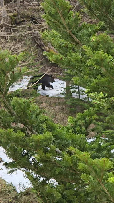
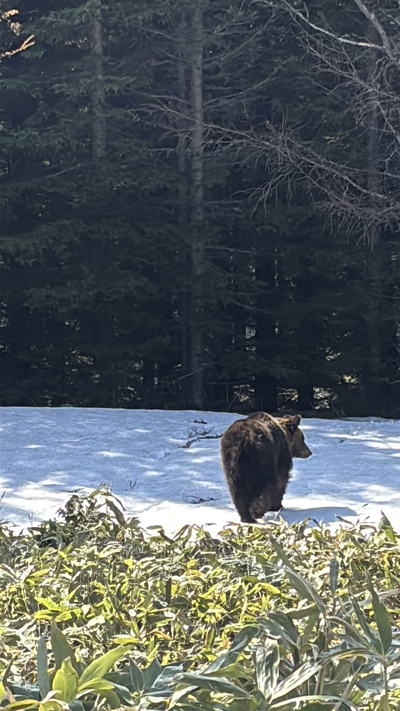
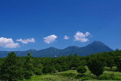
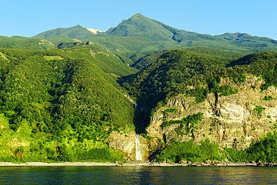
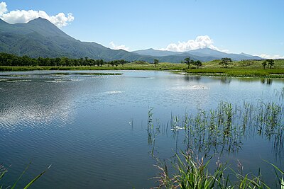
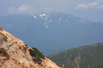
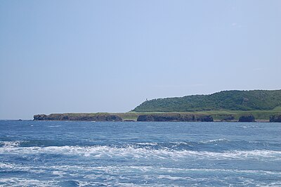
In Shiretoko, Utoro, Shari Town, Hokkaido, one brown bear (approx. 1.5 m in length) was sighted and filmed from a kayak during a guided tour. The bear was on a snowy mountainside and was observed from the sea at a safe distance.

Note: Official sources provide information in Japanese only. This description has been machine translated for your convenience.

Summary

In Shiretoko's Utoro (Shari Town), participants on a kayak guide tour sighted and filmed what appears to be a brown bear emerging from hibernation, about 1.5 meters long — the first encounter of the season. The bear was seen on a mountainside near the Horobetsu River and observed from the kayak at sea. The report also notes increased bear-alert measures elsewhere in Japan, such as an advisory in Iwate Prefecture.

Bear Type

Brown Bear

Number of Bears

1

Provider Type

News

Date & Time

Tuesday, March 24, 2026 at 03:00 PM

Address

Shiretoko, Utoro, Shari Town — mountain slope (filmed from a kayak tour at sea; near the Horobetsu River), Hokkaido

Coordinates

44.199656, 145.239674

Sources

https://news.yahoo.co.jp/articles/1dd91adcabc9e620151c5cdc92... https://www.chiba-tv.com/plus/detail/2026031444989 https://news.livedoor.com/topics/detail/30843087/

Related Areas

Hokkaido
High Risk

Hokkaido

12,710 incidents

Shiretoko
Low Risk

Shiretoko

Hokkaido

15 incidents

Iwaobetsu Onsen
Low Risk

Iwaobetsu Onsen

Hokkaido

15 incidents

Shiretoko National Park
Low Risk

Shiretoko National Park

Hokkaido

14 incidents

Mount Iō (Shiretoko)
Low Risk

Mount Iō (Shiretoko)

Hokkaido

13 incidents

Shari
Low Risk

Shari

Hokkaido

8 incidents

Mount Shiretoko
Low Risk

Mount Shiretoko

Hokkaido

1 incidents

Cape Shiretoko
Low Risk

Cape Shiretoko

Hokkaido

1 incidents

Hokkaido
High Risk

Hokkaido

12,710 incidents

Shiretoko
Low Risk

Shiretoko

Hokkaido

15 incidents

Iwaobetsu Onsen
Low Risk

Iwaobetsu Onsen

Hokkaido

15 incidents

Shiretoko National Park
Low Risk

Shiretoko National Park

Hokkaido

14 incidents

Mount Iō (Shiretoko)
Low Risk

Mount Iō (Shiretoko)

Hokkaido

13 incidents

Shari
Low Risk

Shari

Hokkaido

8 incidents

Mount Shiretoko
Low Risk

Mount Shiretoko

Hokkaido

1 incidents

Cape Shiretoko
Low Risk

Cape Shiretoko

Hokkaido

1 incidents

Comments (0)

0/2000

No comments yet.

Plan Your Trip View Risk Map

Hiking in bear country

Safety picks and trail essentials, top-rated on Amazon and Rakuten.

Nearby Incidents

Shari, Hokkaido
Community

Shari, Hokkaido

15.5 km away

2 weeks ago

News

Mount Rausu, Hokkaido

16.7 km away

8 months ago

News

Mount Rausu (Rausu-dake), Hokkaido

16.7 km away

9 months ago

News

Mount Rausu, Hokkaido

16.7 km away

8 months ago

News

Mount Rausu (Iwaobetsu Trail), Hokkaido

16.7 km away

9 months ago

News

Mount Rausu, Hokkaido

16.7 km away

9 months ago

News

Mount Rausu, Hokkaido

16.7 km away

9 months ago

News

Mount Rausu trail (around 550 m elevation), Hokkaido

16.7 km away

9 months ago

Shari, Hokkaido
Community

Shari, Hokkaido

15.5 km away

2 weeks ago

News

Mount Rausu, Hokkaido

16.7 km away

8 months ago

News

Mount Rausu (Rausu-dake), Hokkaido

16.7 km away

9 months ago

News

Mount Rausu, Hokkaido

16.7 km away

8 months ago

News

Mount Rausu (Iwaobetsu Trail), Hokkaido

16.7 km away

9 months ago

News

Mount Rausu, Hokkaido

16.7 km away

9 months ago

News

Mount Rausu, Hokkaido

16.7 km away

9 months ago

News

Mount Rausu trail (around 550 m elevation), Hokkaido

16.7 km away

9 months ago

Kumamap Kumamap

Track bear incidents across Japan. Stay safe outdoors.

Explore

Map Account Areas Predictions Near Me Trip Planner Trip Reports Community Alerts Gear

Learn

Bear Safety Guides Blog News Data FAQ

Mobile

iOS App Android App LINE WhatsApp

Company

About Contact Report Advertise

Legal

Privacy Terms Commercial Disclosure

Our Partners

mistweaverco.com
© 2026 Kumamap