Location
Description
Fled southwest from the road of the Prefectural Route Iwakiyama Loop Line near the Omori Katsuyama archaeological site.
Note: Official sources provide information in Japanese only. This description has been machine translated for your convenience.
Bear Type
Black Bear
Number of Bears
1
Provider Type
Official
Date & Time
Monday, June 22, 2026 at 03:30 AM
Address
Hirosaki, Aomori
Coordinates
40.697040, 140.371020
Related Areas

Nearby places of interest
Attraction 996 m
Oomori Kawa
大森川
Aomori ·45 incidents
Attraction 1.0 km
Kanjou Resseki
環状列石
Aomori ·45 incidents
Viewpoint 1.1 km
Chuushajou Oomori Katsuyama Iseki
駐車場 大森勝山遺跡
Aomori ·44 incidents
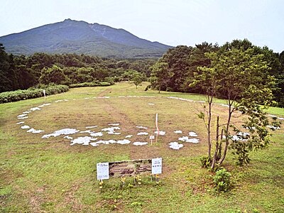
Attraction 1.1 km
Oomori Katsuyama Iseki
大森勝山遺跡
Aomori ·45 incidents
Attraction 1.2 km
Oomori Kawa ( Tadashii )
大森川(正しい)
Aomori ·46 incidents
Mountain 1.2 km
Te Shiro Moriyama
手白森山
Aomori ·142 incidents
Mountain 1.8 km
Oomori Yama
大森山
Aomori ·135 incidents
Mountain 1.8 km
Ougon Yama
黄金山
Aomori ·139 incidents
Comments (0)
No comments yet.
Hiking in bear country
Safety picks and trail essentials, top-rated on Amazon and Rakuten.

