Location
Description
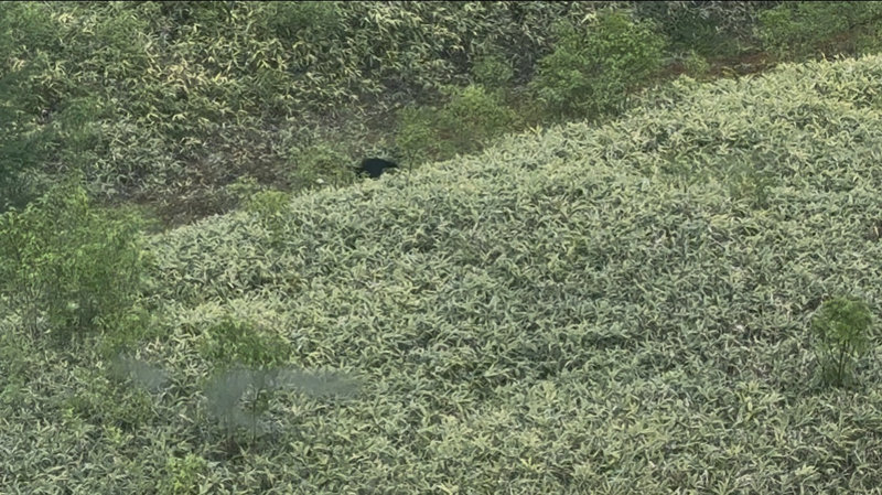
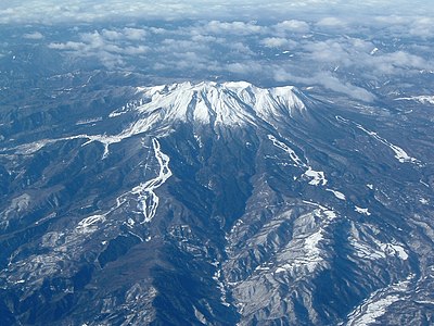
While riding the Mitake Mountain ropeway, I spotted a moving cub. When I reported it to the ropeway staff, they said cubs have been seen there frequently lately. They explained it was a young bear that had just become independent from its mother.
Bear Type
Black Bear
Number of Bears
1
Provider Type
Community
Date & Time
Sunday, June 14, 2026 at 07:00 AM
Address
Kiso, Nagano
Coordinates
35.901148, 137.520611
Related Areas
Nearby places of interest
Cable Car 813 m
Iimori Kougen
飯森高原
Nagano ·3 incidents
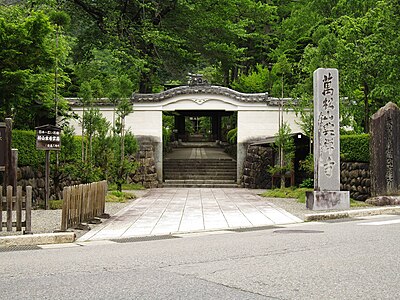
Shrine or Temple 864 m
Ontake-jinja Shrine
Nagano ·1 incidents
Cable Car 1.4 km
Shika No Se Eki
鹿ノ瀬駅
Nagano ·2 incidents
Mountain 3.6 km
Mt. Mamako
Nagano ·81 incidents
Mountain 3.7 km
Mikasa Yama
三笠山
Nagano ·13 incidents
Mountain 3.7 km
Mount Ontake
Nagano ·26 incidents
Volcano 3.8 km
Mt. Ontake
Nagano ·28 incidents
Mountain 4.0 km
Mt. Marishiten
Gifu ·68 incidents
Comments (0)
No comments yet.
Hiking in bear country
Safety picks and trail essentials, top-rated on Amazon and Rakuten.
