News 2 Black Bears riverside at the Tochigi–Gunma prefectural border, Tochigi Mar 17, 2026, 08:00 AM
0 views
Location
Description
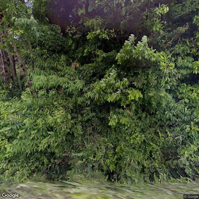
On the evening of March 17, two bears were reported to have possibly appeared at the riverside on the Tochigi–Gunma prefectural border.
Note: Official sources provide information in Japanese only. This description has been machine translated for your convenience.
Bear Type
Black Bear
Number of Bears
2
Provider Type
News
Date & Time
Tuesday, March 17, 2026 at 08:00 AM
Address
riverside at the Tochigi–Gunma prefectural border, Tochigi
Coordinates
36.354761, 139.958480
Related Areas

Nearby places of interest
Train Station 1.1 km
Higuchi
Ibaraki ·1 incidents
School 1.4 km
Yotsuya Gakuin Koutougakkou Honkou
四谷学院高等学校 本校
Ibaraki ·1 incidents
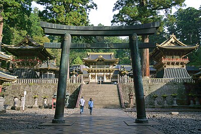
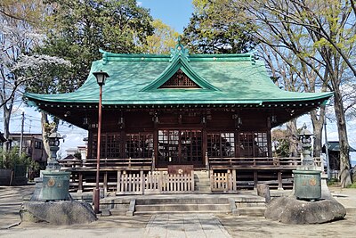
Shrine or Temple 1.4 km
Inari Jinja
稲荷神社
Ibaraki ·1 incidents
Castle Ruins 1.7 km
Benten Yama Kofun
弁天山古墳
Ibaraki ·1 incidents
Train Station 1.9 km
Orimoto
Ibaraki ·1 incidents
Comments (1)
場所が違う 2 months ago
場所が全然違います。佐野市と館林市の境の渡良瀬川付近って。佐野市ホームページに出てるとの事。この位置は栃木茨城県の県境です。
Hiking in bear country
Safety picks and trail essentials, top-rated on Amazon and Rakuten.