Location
Description
Heading north, observed one bear about 0.8 m crossing the road from west to east; then it left in some direction.
Note: Official sources provide information in Japanese only. This description has been machine translated for your convenience.
Bear Type
Black Bear
Number of Bears
1
Provider Type
Official
Date & Time
Saturday, May 21, 2022 at 02:18 PM
Address
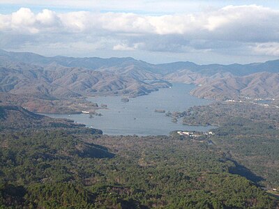
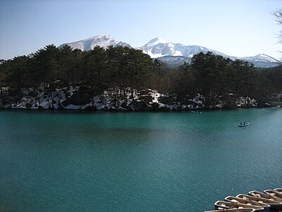
Kitakata, Fukushima
Coordinates
37.709146, 139.867470
Related Areas

Nearby places of interest
Comments (0)
No comments yet.
Hiking in bear country
Safety picks and trail essentials, top-rated on Amazon and Rakuten.