Official 2 Black Bears Otsu Wani-kasuga 1-chome, Shiga Oct 24, 2024, 08:30 AM
0 views
Location
Description
Sighted a sow with cubs moving toward the south into the forest.
Note: Official sources provide information in Japanese only. This description has been machine translated for your convenience.
Bear Type
Black Bear
Number of Bears
2
Provider Type
Official
Date & Time
Thursday, October 24, 2024 at 08:30 AM
Address
Otsu Wani-kasuga 1-chome, Shiga
Coordinates
35.169834, 135.905820
Related Areas
Nearby places of interest
School 1.3 km
Shiritsu Shiga Chuugakkou
市立志賀中学校
Shiga ·10 incidents
Hospital 1.6 km
Ootsu Sekijuuji Shiga Byouin
大津赤十字志賀病院
Shiga ·13 incidents
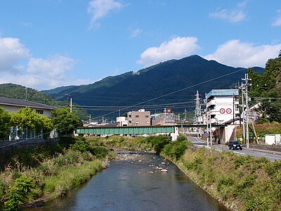
Train Station 1.6 km
Hōrai
Shiga ·13 incidents
Train Station 1.7 km
Wani
Shiga ·10 incidents
Mountain 3.0 km
Ryozen-yama
Shiga ·70 incidents
Mountain 3.4 km
Tsuru Dara Yama
蔓陀羅山
Shiga ·49 incidents
Mountain 3.9 km
Hokke Yama
ホッケ山
Shiga ·41 incidents
Mountain 3.9 km
Gongen-zan
Shiga ·44 incidents
Comments (0)
No comments yet.
Hiking in bear country
Safety picks and trail essentials, top-rated on Amazon and Rakuten.
