
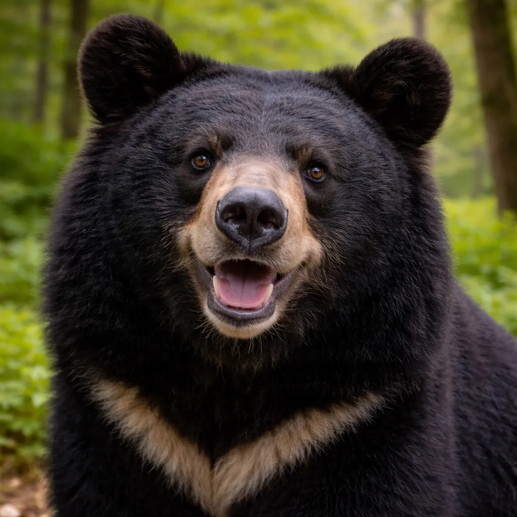
아시아흑곰
Ursus thibetanus japonicus
- 서식지
- 혼슈, 시코쿠
- 몸무게
- 80~120 kg
- 활동 시간
- 새벽・황혼
안전하게 공존하기
- ·걸으면서 소리를 낸다; 곰 격퇴 스프레이 휴대
- ·돌진 시 침착하게 버티며 스프레이 사용
- ·접촉 시 단호히 저항한다. 저항하면 물러난다
- ·나무에 오르지 않는다. 곰이 더 잘 오른다
새로운 여행 계획으로 저장됩니다. 원본 리포트는 그대로 유지됩니다.
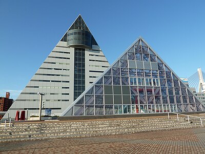
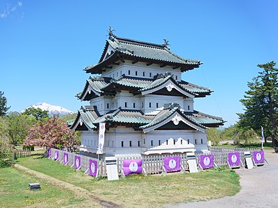
Aomori Prefecture Tourist Center에서 히로사키성까지, 아오모리현 안을 지나는 총 39 km 경로입니다. 지난 30일 동안 경로 5km 이내에서 곰 출몰이 19건 보고되었습니다. 이 중 최근 7일 동안의 보고는 4건입니다. 가장 최근 출몰은 1일 전 Aomori Takada, Aomori 부근에서 보고되었습니다.
최근 출몰 밀도를 고려할 때 출발 시간 변경이나 다른 트레일 선택을 권장합니다.
A bear about 1 meter long was at the roadside and crossed the road from north to south.
Aomori Takada, Aomori
While descending the slope past the snow shelter heading from Goshogawara toward Aomori, it ran across from the left side of the direction of travel to the right and entered the grass.
Aomori, Aomori
Was crossing the road.
Aomori, Aomori

One bear was sighted in Kohbata, Aomori City, around 7:10 PM.
Aomori Kobata, Aomori

While driving, I saw it in my rearview mirror as I passed by. It crossed the road heading south.
Aomori Kobata, Aomori

On 2026-07-13 around 17:05, a bear was sighted moving in Ooyayamanouchi, Aomori City.
Aomori, Aomori

Crossing the road toward Aoi Mori Hospital
Aomori, Aomori

Observed a mother bear and cub walking south along the north–south road between Santa Reservoir and Yoshinoda New Reservoir. The mother and cub entered a field and were not seen afterward.
Aomori, Aomori
Crossing the road toward the airport
Aomori Kodate, Aomori

Reflected eyes were seen in an apple orchard and a beast’s growl was heard. The species, body length, and direction of escape are unknown. When the city checked the scene, footprints of a four-legged animal (such as a raccoon) were found in a nearby field. No signs of an Asiatic black bear (Tsukinowaguma) were found.
Hirosaki 大開2, Aomori

On July 5 at around 14:25, a bear was sighted moving in Ozawaizawa, Hirosaki City, Aomori Prefecture.
Hirosaki, Aomori
A bear cub crossed the road.
Aomori Iwatari, Aomori
A bear was seen moving in Iwatari, Aomori City.
Aomori Iwatari, Aomori
It appeared from the residential side, crossed the road, and headed into the mountains.
Aomori, Aomori
Observed one bear about 1 m in body length running across the road from south to north.
Aomori, Aomori

Observed a medium-sized bear crossing from inside a vehicle.
Aomori, Aomori

While working in the apple orchard, a fairly large cub crossed the field from south to north.
Aomori, Aomori

Around 6:00 on 2026-06-30, one relatively large cub was seen crossing an apple orchard from south to north in Yoshinoda, Namioka, Aomori City.
Aomori, Aomori

[Aomori City report] Witnessed one approximately 1-meter-tall bear crossing the road to the east.
Aomori, Aomori
17:00에 피크 활동, 5건의 출몰
Ursus thibetanus japonicus
Amazon·Rakuten 고평점 제품에서 엄선한 곰 대비와 등산 장비.
산악 구조는 110번(경찰)에 전화하세요. 지역 구조대와 협력합니다.
아직 댓글이 없습니다.
지난 30일 동안 경로 5km 이내에서 곰 출몰이 19건 보고되었습니다. 이 중 최근 7일 동안의 보고는 4건입니다.
가장 최근 출몰은 1일 전 Aomori Takada, Aomori 부근에서 보고되었습니다.
이 경로의 최근 목격은 17시경에 절정입니다. 곰은 일반적으로 새벽과 해질녘에 가장 활발합니다.
Aomori Prefecture Tourist Center에서 히로사키성까지, 아오모리현 안을 지나는 총 39 km 경로입니다. 지난 30일 동안 경로 5km 이내에서 곰 출몰이 19건 보고되었습니다. 이 중 최근 7일 동안의 보고는 4건입니다. 가장 최근 출몰은 1일 전 Aomori Takada, Aomori 부근에서 보고되었습니다. 최근 출몰 밀도를 고려할 때 출발 시간 변경이나 다른 트레일 선택을 권장합니다.
