Kumamap Kumamap Kumamap
Map Areas Trip Planner Sponsor Alerts Report
English 日本語 한국어 简体中文 繁體中文 ไทย
Sign in
Sign in
Map Areas Trip Planner Sponsor Alerts Report
English 日本語 한국어 简体中文 繁體中文 ไทย
  1. Home
  2. Areas
  3. Mitsumata renge take

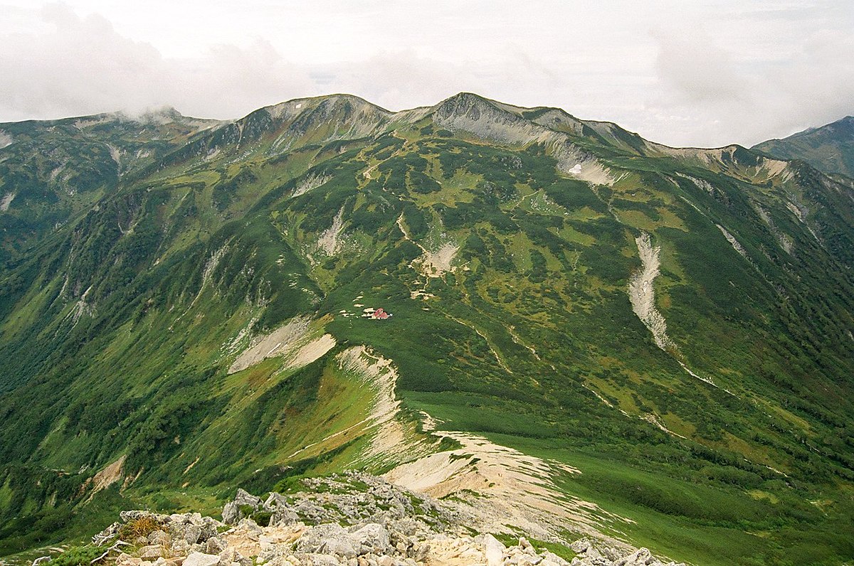
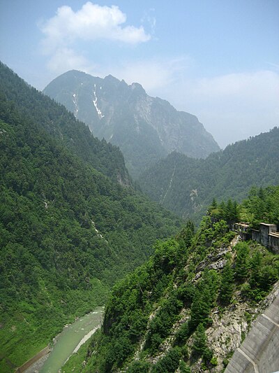
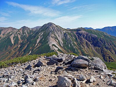
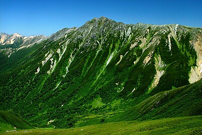
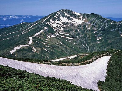
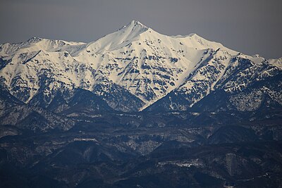
Mountains & Hiking · Toyama

Mitsumata renge take Black Bear Incidents

Black Bear sighting and incident data compiled from official government records, news outlets, and community reports.

30 bear incidents recorded · Last updated 39 minutes ago
Trip Plan Risk Map Bear Report
Incidents in last 7 days
0
Incidents in last 30 days
0
Latest
3 months ago
Mitsumata renge take
Low Risk

Latest Bear Activity in Mitsumata renge take

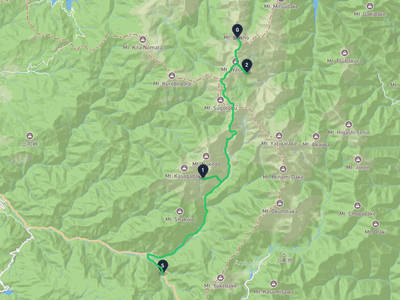
Mitsumata renge take had a Black Bear report in Arimine area, Toyama City on March 6, 2026. No new incidents have been reported in the past 30 days. Recent activity is quiet, though this area has past records. The area has 30 recorded incidents in total.

Sponsorship open

Sponsor the Mitsumata renge take page

The Mitsumata renge take page was viewed 8 times in the last 30 days, as of 6/14/2026. For ¥980/month, your business can reach people checking local safety, planning where to go, what to prepare, and where to stop. Click estimate: 1-1. Approved sponsors appear as the only business ad on this page.

30-day views
8
Click estimate
1-1
Monthly price
¥980
Create free preview

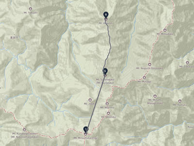
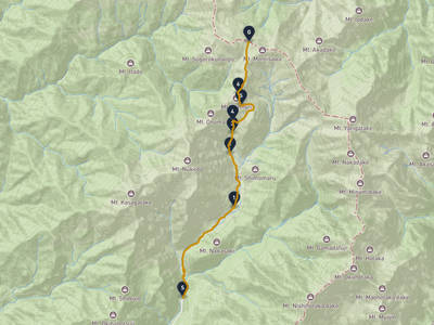
Mitsumata renge take Bear Incident Map

Showing 30 of 30

No incidents in this time range

No incidents in this time range

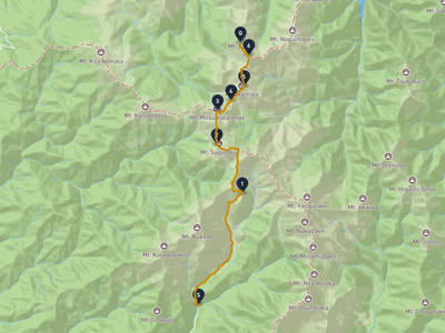
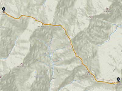
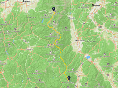
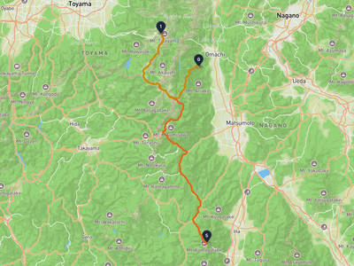
Recent trips through Mitsumata renge take
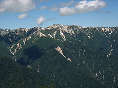
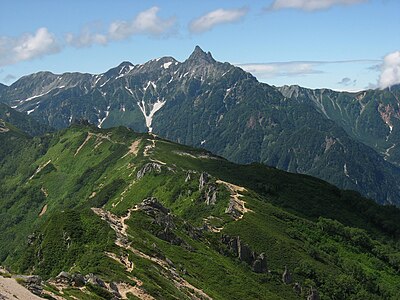
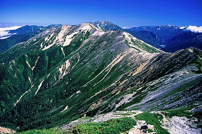
Mount Suisho → Akaushi take

Mount Suisho → Akaushi take

3 stops · 2 weeks ago

8 views

Mount Yari → Mitsumata renge take

Mount Yari → Mitsumata renge take

2 stops · 4 days ago

1 views

Lorelei NeutralLisa Wischofskyhttps://www.figma.com/community/file/1198749693280469639https://creativecommons.org/publicdomain/zero/1.0/Remix of „Lorelei Neutral” (https://www.figma.com/community/file/1198749693280469639) by „Lisa Wischofsky”, licensed under „CC0 1.0” (https://creativecommons.org/publicdomain/zero/1.0/)
Gentle Stargazer @climber-499fb9a1
Takayama → Mount Suisho

Takayama → Mount Suisho

8 stops · 1 week ago

1 views

Senjōjiki Cirque → Mikurigaike

Senjōjiki Cirque → Mikurigaike

2 stops · 1 month ago

6,892 views

Mount Tate → Yorii

Mount Tate → Yorii

2 stops · 3 weeks ago

36 views

Toyama → Shiki

Toyama → Shiki

2 stops · 1 month ago

25 views

Fuefuki → Kamiichi

Fuefuki → Kamiichi

2 stops · 1 month ago

17 views

Takayama → Mount Suisho

Takayama → Mount Suisho

4 stops · 3 weeks ago

11 views

Mount Suisho → Akaushi take

Mount Suisho → Akaushi take

3 stops · 2 weeks ago

8 views

Mount Yari → Mitsumata renge take

Mount Yari → Mitsumata renge take

2 stops · 4 days ago

1 views

Lorelei NeutralLisa Wischofskyhttps://www.figma.com/community/file/1198749693280469639https://creativecommons.org/publicdomain/zero/1.0/Remix of „Lorelei Neutral” (https://www.figma.com/community/file/1198749693280469639) by „Lisa Wischofsky”, licensed under „CC0 1.0” (https://creativecommons.org/publicdomain/zero/1.0/)
Gentle Stargazer @climber-499fb9a1
Takayama → Mount Suisho

Takayama → Mount Suisho

8 stops · 1 week ago

1 views

Senjōjiki Cirque → Mikurigaike

Senjōjiki Cirque → Mikurigaike

2 stops · 1 month ago

6,892 views

Mount Tate → Yorii

Mount Tate → Yorii

2 stops · 3 weeks ago

36 views

Toyama → Shiki

Toyama → Shiki

2 stops · 1 month ago

25 views

Fuefuki → Kamiichi

Fuefuki → Kamiichi

2 stops · 1 month ago

17 views

Takayama → Mount Suisho

Takayama → Mount Suisho

4 stops · 3 weeks ago

11 views

See more trips through Mitsumata renge take

Nearby Areas

Kurobe River
Low Risk

Kurobe River

2.1 km

179 incidents

Mount Washiba
Low Risk

Mount Washiba

2.1 km

12 incidents

Mount Suisho
Low Risk

Mount Suisho

4.3 km

15 incidents

Mount Kurobegorō
Low Risk

Mount Kurobegorō

4.3 km

28 incidents

Noguchi Gorou take
Low Risk

Noguchi Gorou take

6.5 km

12 incidents

Mount Yari
Low Risk

Mount Yari

7.6 km

130 incidents

Akaushi take
Low Risk

Akaushi take

8.1 km

36 incidents

Mount Kasa
Low Risk

Mount Kasa

8.9 km

434 incidents

Kurobe River
Low Risk

Kurobe River

2.1 km

179 incidents

Mount Washiba
Low Risk

Mount Washiba

2.1 km

12 incidents

Mount Suisho
Low Risk

Mount Suisho

4.3 km

15 incidents

Mount Kurobegorō
Low Risk

Mount Kurobegorō

4.3 km

28 incidents

Noguchi Gorou take
Low Risk

Noguchi Gorou take

6.5 km

12 incidents

Mount Yari
Low Risk

Mount Yari

7.6 km

130 incidents

Akaushi take
Low Risk

Akaushi take

8.1 km

36 incidents

Mount Kasa
Low Risk

Mount Kasa

8.9 km

434 incidents

Comments (1)

0/2000

Lorelei NeutralLisa Wischofskyhttps://www.figma.com/community/file/1198749693280469639https://creativecommons.org/publicdomain/zero/1.0/Remix of „Lorelei Neutral” (https://www.figma.com/community/file/1198749693280469639) by „Lisa Wischofsky”, licensed under „CC0 1.0” (https://creativecommons.org/publicdomain/zero/1.0/)
マイク 3 months ago

富山市有峰地区だけで相当な頻度で出没してるのに、2022年7月は高山市に集中してるんだな。

Hiking in bear country

Safety picks and trail essentials, top-rated on Amazon and Rakuten.

Frequently Asked Questions About Bears in Mitsumata renge take

How many bear incidents have been recorded in Mitsumata renge take?

Mitsumata renge take has 30 recorded bear incidents in total, but no activity has been reported in the last 30 days. Bear activity varies seasonally, so always check the latest status before hiking or spending time outdoors.

When and where was the latest bear incident in Mitsumata renge take?

The most recent bear sighting in Mitsumata renge take was on March 5, 2026 in Arimine area, Toyama City, Toyama, where 1 Black Bear was reported. Detailed location and surrounding incidents are available on the incident map.

Where have bears appeared recently in Mitsumata renge take?

Recent bear sightings in Mitsumata renge take have been concentrated in Takayama (24), Toyama Arimine (2), Arimine area, Toyama City (1). These areas have had multiple reports within the last 30 days.

Is bear activity increasing in Mitsumata renge take?

No recent activity to assess.

What type of bears are in Mitsumata renge take?

Mitsumata renge take is home to Asian black bears, which weigh up to 120kg and inhabit the mountains of Honshu and Shikoku. They are generally shy but can be dangerous when surprised or protecting cubs. Carry bear bells while hiking.

Kumamap Kumamap

Track bear incidents across Japan. Stay safe outdoors.

Explore

Map Account Areas Places of Interest Predictions Near Me Trip Planner Trip Reports Community Alerts Gear

Learn

Bear Safety Guides Blog News Data FAQ

Mobile

iOS App Android App LINE WhatsApp

Company

About Contact Report Sponsor

Legal

Privacy Terms Commercial Disclosure
© 2026 Kumamap