Kumamap Kumamap Kumamap
Map Areas Trip Planner Sponsor Alerts Report
English 日本語 한국어 简体中文 繁體中文 ไทย
Sign in
Sign in
Map Areas Trip Planner Sponsor Alerts Report
English 日本語 한국어 简体中文 繁體中文 ไทย
  1. Home
  2. Areas
  3. Mount Tō

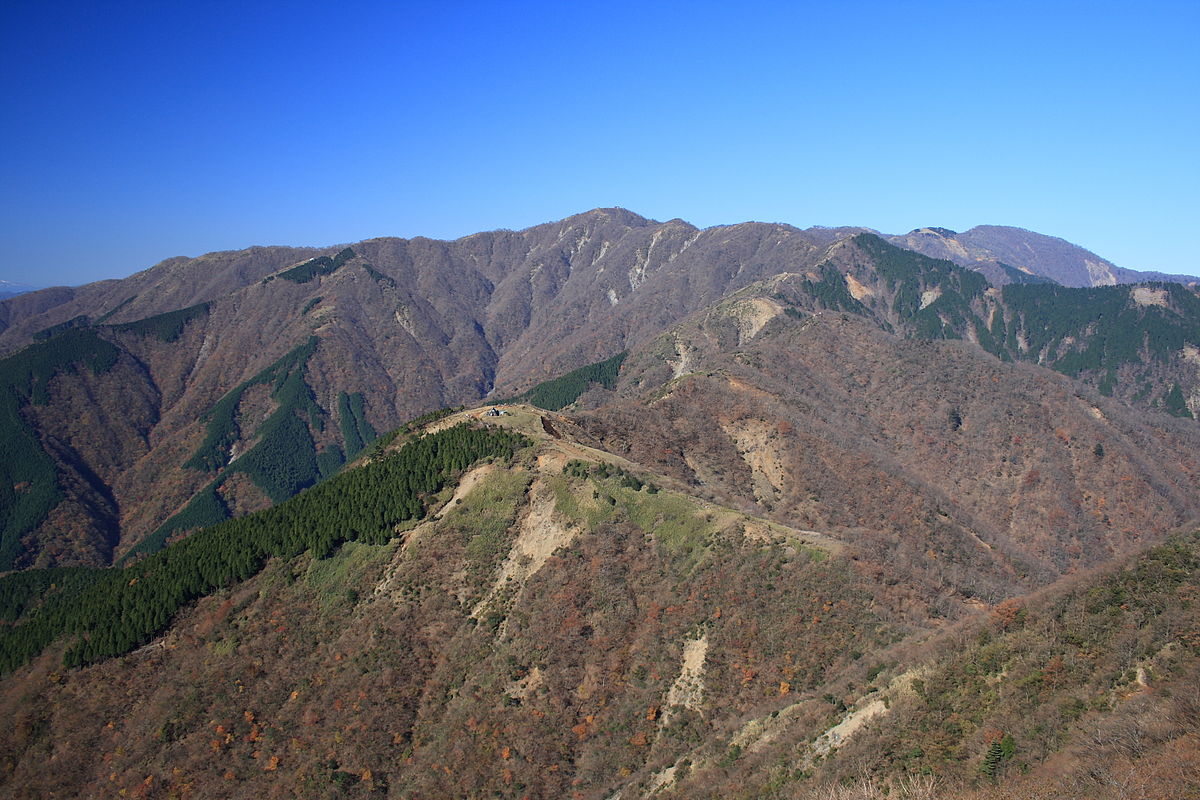
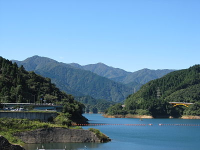
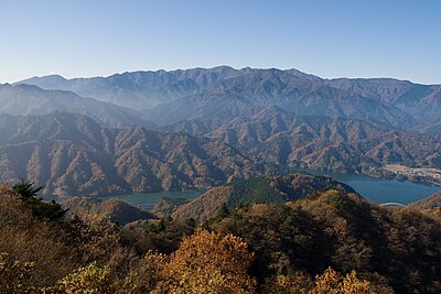
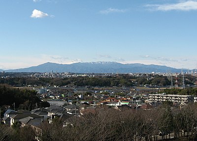
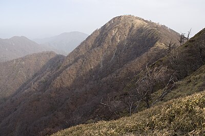
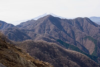
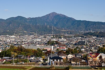
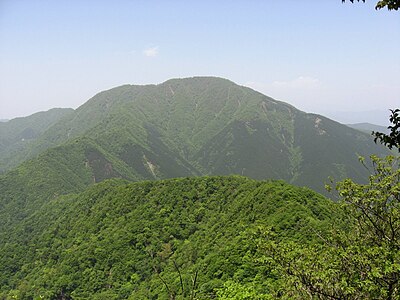
Mountains & Hiking · Kanagawa

Mount Tō Black Bear Incidents

Black Bear sighting and incident data compiled from official government records, news outlets, and community reports.

356 bear incidents recorded · Last updated 1 day ago
Trip Plan Risk Map Bear Report
Incidents in last 7 days
1
Incidents in last 30 days
5
Latest
1 week ago
Mount Tō
Low Risk

Latest Bear Activity in Mount Tō
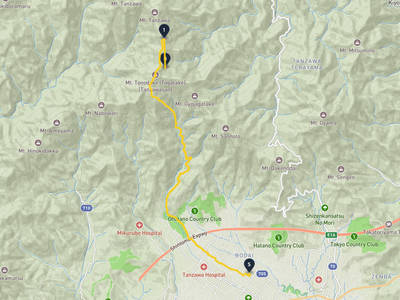
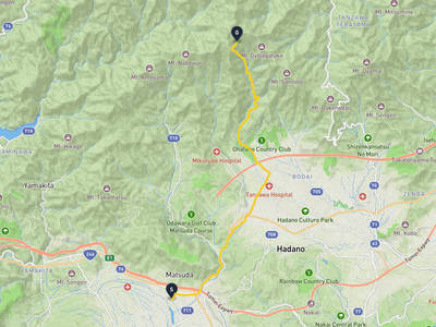
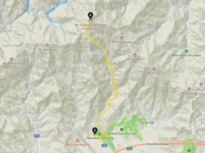
Mount Tō had a Black Bear report in Hadano on June 8, 2026. There were 5 incidents in the past 30 days, including 1 in the past 7 days. New reports appeared within the past week. Recent reports are spread across Hadano, Hadano Bodai, and Isehara. The area has 356 recorded incidents in total.

Sponsorship open

Sponsor the Mount Tō page

The Mount Tō page was viewed 2,118 times in the last 30 days, as of 6/13/2026. For ¥4,980/month, your business can reach people checking local safety, planning where to go, what to prepare, and where to stop. Click estimate: 21-64. Approved sponsors appear as the only business ad on this page.

30-day views
2,118
Click estimate
21-64
Monthly price
¥4,980
Create free preview

Mount Tō Bear Incident Map

Showing 120 of 120

No incidents in this time range

No incidents in this time range

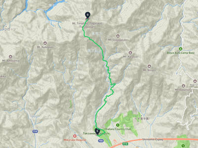
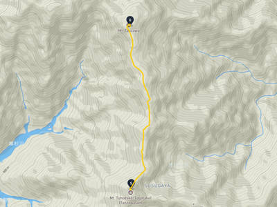
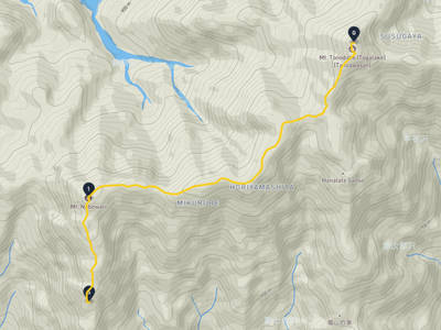
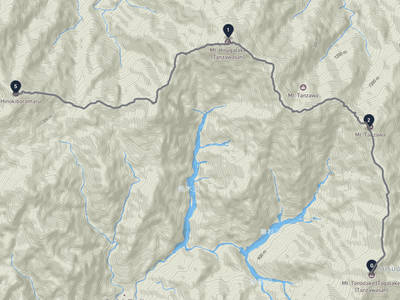
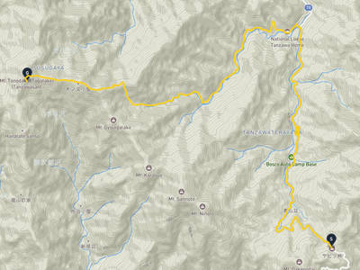
Recent trips through Mount Tō

Hadano → Mount Tō

Hadano → Mount Tō

2 stops · 1 month ago

169 views

Mount Tō → Mount Tanzawa

Mount Tō → Mount Tanzawa

2 stops · 3 weeks ago

117 views

Lorelei NeutralLisa Wischofskyhttps://www.figma.com/community/file/1198749693280469639https://creativecommons.org/publicdomain/zero/1.0/Remix of „Lorelei Neutral” (https://www.figma.com/community/file/1198749693280469639) by „Lisa Wischofsky”, licensed under „CC0 1.0” (https://creativecommons.org/publicdomain/zero/1.0/)
minosan @walker-739e631a
Tanzawa-Ōyama Quasi-National Park → Mount Tō

Tanzawa-Ōyama Quasi-National Park → Mount Tō

3 stops · 3 weeks ago

80 views

Lorelei NeutralLisa Wischofskyhttps://www.figma.com/community/file/1198749693280469639https://creativecommons.org/publicdomain/zero/1.0/Remix of „Lorelei Neutral” (https://www.figma.com/community/file/1198749693280469639) by „Lisa Wischofsky”, licensed under „CC0 1.0” (https://creativecommons.org/publicdomain/zero/1.0/)
minosan @walker-739e631a
Hadano → Mount Tō

Hadano → Mount Tō

3 stops · 3 weeks ago

62 views

Matsuda → Mount Tō

Matsuda → Mount Tō

2 stops · 3 weeks ago

43 views

Hadano → Mount Tō

Hadano → Mount Tō

2 stops · 3 weeks ago

31 views

Lorelei NeutralLisa Wischofskyhttps://www.figma.com/community/file/1198749693280469639https://creativecommons.org/publicdomain/zero/1.0/Remix of „Lorelei Neutral” (https://www.figma.com/community/file/1198749693280469639) by „Lisa Wischofsky”, licensed under „CC0 1.0” (https://creativecommons.org/publicdomain/zero/1.0/)
KAMACHI @climber-676949fb
Mount Ōyama (Kanagawa) → Mount Tō

Mount Ōyama (Kanagawa) → Mount Tō

2 stops · 3 weeks ago

31 views

Midori Ward, Sagamihara → Mount Tō

Midori Ward, Sagamihara → Mount Tō

2 stops · 3 weeks ago

22 views

Hadano → Mount Tō

Hadano → Mount Tō

2 stops · 1 month ago

169 views

Mount Tō → Mount Tanzawa

Mount Tō → Mount Tanzawa

2 stops · 3 weeks ago

117 views

Lorelei NeutralLisa Wischofskyhttps://www.figma.com/community/file/1198749693280469639https://creativecommons.org/publicdomain/zero/1.0/Remix of „Lorelei Neutral” (https://www.figma.com/community/file/1198749693280469639) by „Lisa Wischofsky”, licensed under „CC0 1.0” (https://creativecommons.org/publicdomain/zero/1.0/)
minosan @walker-739e631a
Tanzawa-Ōyama Quasi-National Park → Mount Tō

Tanzawa-Ōyama Quasi-National Park → Mount Tō

3 stops · 3 weeks ago

80 views

Lorelei NeutralLisa Wischofskyhttps://www.figma.com/community/file/1198749693280469639https://creativecommons.org/publicdomain/zero/1.0/Remix of „Lorelei Neutral” (https://www.figma.com/community/file/1198749693280469639) by „Lisa Wischofsky”, licensed under „CC0 1.0” (https://creativecommons.org/publicdomain/zero/1.0/)
minosan @walker-739e631a
Hadano → Mount Tō

Hadano → Mount Tō

3 stops · 3 weeks ago

62 views

Matsuda → Mount Tō

Matsuda → Mount Tō

2 stops · 3 weeks ago

43 views

Hadano → Mount Tō

Hadano → Mount Tō

2 stops · 3 weeks ago

31 views

Lorelei NeutralLisa Wischofskyhttps://www.figma.com/community/file/1198749693280469639https://creativecommons.org/publicdomain/zero/1.0/Remix of „Lorelei Neutral” (https://www.figma.com/community/file/1198749693280469639) by „Lisa Wischofsky”, licensed under „CC0 1.0” (https://creativecommons.org/publicdomain/zero/1.0/)
KAMACHI @climber-676949fb
Mount Ōyama (Kanagawa) → Mount Tō

Mount Ōyama (Kanagawa) → Mount Tō

2 stops · 3 weeks ago

31 views

Midori Ward, Sagamihara → Mount Tō

Midori Ward, Sagamihara → Mount Tō

2 stops · 3 weeks ago

22 views

See more trips through Mount Tō

Nearby Areas

Tanzawa-Ōyama Quasi-National Park
Low Risk

Tanzawa-Ōyama Quasi-National Park

1.3 km

560 incidents

Mount Tanzawa
Low Risk

Mount Tanzawa

2.2 km

327 incidents

Tanzawa Mountains
Low Risk

Tanzawa Mountains

3.3 km

246 incidents

Mount Hiru
Low Risk

Mount Hiru

4.3 km

255 incidents

Mount Dakenodai
Low Risk

Mount Dakenodai

5.5 km

331 incidents

Hinokidoumaru
Low Risk

Hinokidoumaru

6.1 km

159 incidents

Mount Ōyama (Kanagawa)
Low Risk

Mount Ōyama (Kanagawa)

6.3 km

339 incidents

Mount Ōmuro (Tanzawa)
Low Risk

Mount Ōmuro (Tanzawa)

11 km

137 incidents

Tanzawa-Ōyama Quasi-National Park
Low Risk

Tanzawa-Ōyama Quasi-National Park

1.3 km

560 incidents

Mount Tanzawa
Low Risk

Mount Tanzawa

2.2 km

327 incidents

Tanzawa Mountains
Low Risk

Tanzawa Mountains

3.3 km

246 incidents

Mount Hiru
Low Risk

Mount Hiru

4.3 km

255 incidents

Mount Dakenodai
Low Risk

Mount Dakenodai

5.5 km

331 incidents

Hinokidoumaru
Low Risk

Hinokidoumaru

6.1 km

159 incidents

Mount Ōyama (Kanagawa)
Low Risk

Mount Ōyama (Kanagawa)

6.3 km

339 incidents

Mount Ōmuro (Tanzawa)
Low Risk

Mount Ōmuro (Tanzawa)

11 km

137 incidents

Comments (1)

0/2000

Lorelei NeutralLisa Wischofskyhttps://www.figma.com/community/file/1198749693280469639https://creativecommons.org/publicdomain/zero/1.0/Remix of „Lorelei Neutral” (https://www.figma.com/community/file/1198749693280469639) by „Lisa Wischofsky”, licensed under „CC0 1.0” (https://creativecommons.org/publicdomain/zero/1.0/)
三浦直子 3 months ago

344件というのはだいぶ多いけど、最近の報告を見ると秦野市や清川村、伊勢原市あたりに集中してるんだな。

Hiking in bear country

Safety picks and trail essentials, top-rated on Amazon and Rakuten.

Frequently Asked Questions About Bears in Mount Tō

How many bear incidents have been recorded in Mount Tō?

Mount Tō has recorded 356 bear incidents in total, with 5 reported in the last 30 days and 1 in the last 7 days. These reports are compiled from official government sources, news outlets, and community submissions, and can be viewed on the incident map.

When and where was the latest bear incident in Mount Tō?

The most recent bear sighting in Mount Tō was on June 7, 2026 in Hadano, Kanagawa, where 1 Black Bear was reported. Detailed location and surrounding incidents are available on the incident map.

Where have bears appeared recently in Mount Tō?

Recent bear sightings in Mount Tō have been concentrated in Yamakita (12), Matsuda 寄 (10), Isehara Oyama (10). These areas have had multiple reports within the last 30 days.

Is bear activity increasing in Mount Tō?

Activity has slowed. 1 incidents in the last 7 days, 5 in the last 30 days.

What type of bears are in Mount Tō?

Mount Tō is home to Asian black bears, which weigh up to 120kg and inhabit the mountains of Honshu and Shikoku. They are generally shy but can be dangerous when surprised or protecting cubs. Carry bear bells while hiking.

Kumamap Kumamap

Track bear incidents across Japan. Stay safe outdoors.

Explore

Map Account Areas Places of Interest Predictions Near Me Trip Planner Trip Reports Community Alerts Gear

Learn

Bear Safety Guides Blog News Data FAQ

Mobile

iOS App Android App LINE WhatsApp

Company

About Contact Report Sponsor

Legal

Privacy Terms Commercial Disclosure
© 2026 Kumamap