Kumamap Kumamap Kumamap
Map Areas Trip Planner Sponsor Alerts Report
English 日本語 한국어 简体中文 繁體中文 ไทย
Sign in
Sign in
Map Areas Trip Planner Sponsor Alerts Report
English 日本語 한국어 简体中文 繁體中文 ไทย
  1. Home
  2. Areas
  3. Hokkaido
  4. Takinoe

Cities & Towns · Hokkaido

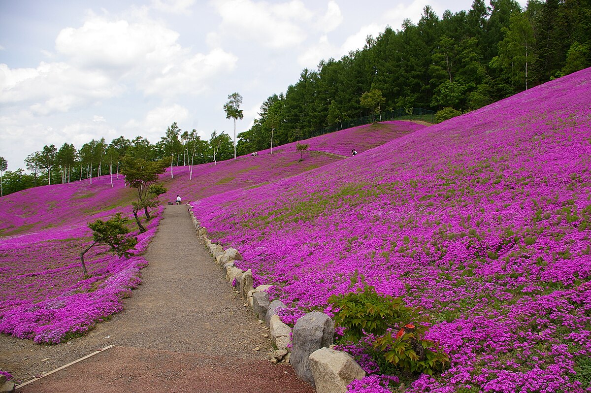
Takinoe Brown Bear Incidents

Brown Bear sighting and incident data compiled from official government records, news outlets, and community reports.

399 bear incidents recorded · Last updated 1 day ago
Trip Plan Risk Map Bear Report
Incidents in last 7 days
4
Incidents in last 30 days
29
Latest
3 days ago
Takinoe
Moderate Risk

Latest Bear Activity in Takinoe

Takinoe had a Brown Bear report in Takinoue on June 12, 2026. There were 29 incidents in the past 30 days, including 4 in the past 7 days. Reports are down from the previous week, but recent activity remains. Recent reports are spread across Takinoue, Takinoue 幸町, and Takinoue 栄町. The area has 399 recorded incidents in total.

Sponsorship open

Sponsor the Takinoe page

The Takinoe page was viewed 307 times in the last 30 days, as of 6/13/2026. For ¥2,480/month, your business can reach people checking local safety, planning where to go, what to prepare, and where to stop. Click estimate: 3-9. Approved sponsors appear as the only business ad on this page.

30-day views
307
Click estimate
3-9
Monthly price
¥2,480
Create free preview

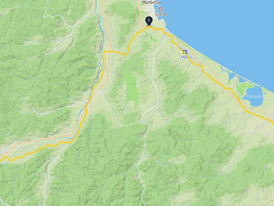
Takinoe Bear Incident Map

Showing 120 of 120

No incidents in this time range

No incidents in this time range

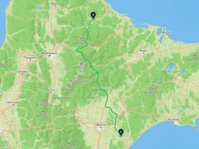
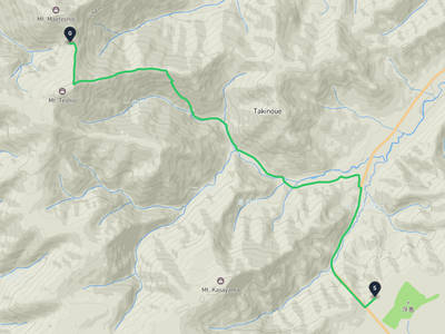
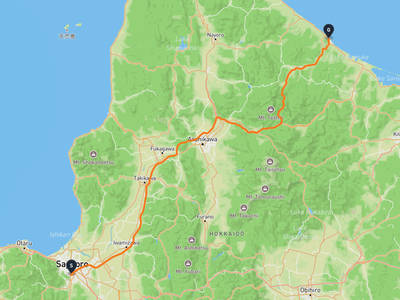
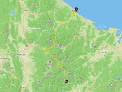
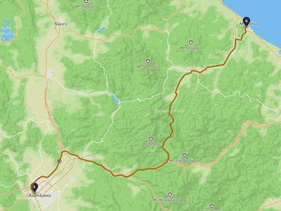
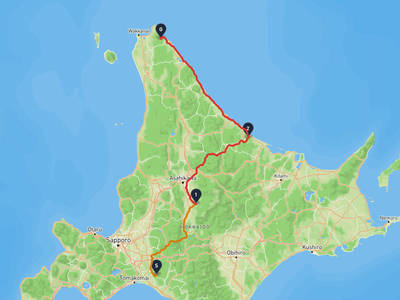
Recent trips through Takinoe

Takinoe → Yubetsu

Takinoe → Yubetsu

3 stops · 1 month ago

565 views

Lorelei NeutralLisa Wischofskyhttps://www.figma.com/community/file/1198749693280469639https://creativecommons.org/publicdomain/zero/1.0/Remix of „Lorelei Neutral” (https://www.figma.com/community/file/1198749693280469639) by „Lisa Wischofsky”, licensed under „CC0 1.0” (https://creativecommons.org/publicdomain/zero/1.0/)
Easy Hiker @explorer-1f0b8090
Toyokoro → Takinoe

Toyokoro → Takinoe

2 stops · 1 month ago

13 views

Lorelei NeutralLisa Wischofskyhttps://www.figma.com/community/file/1198749693280469639https://creativecommons.org/publicdomain/zero/1.0/Remix of „Lorelei Neutral” (https://www.figma.com/community/file/1198749693280469639) by „Lisa Wischofsky”, licensed under „CC0 1.0” (https://creativecommons.org/publicdomain/zero/1.0/)
Easy Hiker @explorer-1f0b8090
Takinoe → Mount Teshio

Takinoe → Mount Teshio

2 stops · 1 month ago

10 views

Nakajima Park → Mombetsu

Nakajima Park → Mombetsu

2 stops · 1 month ago

18 views

Kamishihoro → Mombetsu

Kamishihoro → Mombetsu

2 stops · 1 month ago

16 views

Lorelei NeutralLisa Wischofskyhttps://www.figma.com/community/file/1198749693280469639https://creativecommons.org/publicdomain/zero/1.0/Remix of „Lorelei Neutral” (https://www.figma.com/community/file/1198749693280469639) by „Lisa Wischofsky”, licensed under „CC0 1.0” (https://creativecommons.org/publicdomain/zero/1.0/)
Happy Ranger @friend-53165a94
Tokiwa Park → Mombetsu

Tokiwa Park → Mombetsu

2 stops · 2 weeks ago

7 views

Tokiwa Park → Mombetsu

Tokiwa Park → Mombetsu

2 stops · 2 weeks ago

6 views

Asahi Bridge → Mombetsu

Asahi Bridge → Mombetsu

2 stops · 2 weeks ago

3 views

Takinoe → Yubetsu

Takinoe → Yubetsu

3 stops · 1 month ago

565 views

Lorelei NeutralLisa Wischofskyhttps://www.figma.com/community/file/1198749693280469639https://creativecommons.org/publicdomain/zero/1.0/Remix of „Lorelei Neutral” (https://www.figma.com/community/file/1198749693280469639) by „Lisa Wischofsky”, licensed under „CC0 1.0” (https://creativecommons.org/publicdomain/zero/1.0/)
Easy Hiker @explorer-1f0b8090
Toyokoro → Takinoe

Toyokoro → Takinoe

2 stops · 1 month ago

13 views

Lorelei NeutralLisa Wischofskyhttps://www.figma.com/community/file/1198749693280469639https://creativecommons.org/publicdomain/zero/1.0/Remix of „Lorelei Neutral” (https://www.figma.com/community/file/1198749693280469639) by „Lisa Wischofsky”, licensed under „CC0 1.0” (https://creativecommons.org/publicdomain/zero/1.0/)
Easy Hiker @explorer-1f0b8090
Takinoe → Mount Teshio

Takinoe → Mount Teshio

2 stops · 1 month ago

10 views

Nakajima Park → Mombetsu

Nakajima Park → Mombetsu

2 stops · 1 month ago

18 views

Kamishihoro → Mombetsu

Kamishihoro → Mombetsu

2 stops · 1 month ago

16 views

Lorelei NeutralLisa Wischofskyhttps://www.figma.com/community/file/1198749693280469639https://creativecommons.org/publicdomain/zero/1.0/Remix of „Lorelei Neutral” (https://www.figma.com/community/file/1198749693280469639) by „Lisa Wischofsky”, licensed under „CC0 1.0” (https://creativecommons.org/publicdomain/zero/1.0/)
Happy Ranger @friend-53165a94
Tokiwa Park → Mombetsu

Tokiwa Park → Mombetsu

2 stops · 2 weeks ago

7 views

Tokiwa Park → Mombetsu

Tokiwa Park → Mombetsu

2 stops · 2 weeks ago

6 views

Asahi Bridge → Mombetsu

Asahi Bridge → Mombetsu

2 stops · 2 weeks ago

3 views

Places in Hokkaido

Sapporo
Moderate Risk

Sapporo

1,769 incidents

Sapporo Art Museum
Moderate Risk

Sapporo Art Museum

1,764 incidents

Okurayama Ski Jump Stadium
Moderate Risk

Okurayama Ski Jump Stadium

1,762 incidents

Sapporo Art Park
Moderate Risk

Sapporo Art Park

1,753 incidents

Hokkaidō Jingū
Moderate Risk

Hokkaidō Jingū

1,732 incidents

Shinshū Ōtani-ha Sapporo Betsu-in Temple
Moderate Risk

Shinshū Ōtani-ha Sapporo Betsu-in Temple

1,696 incidents

Nakajima Park
Moderate Risk

Nakajima Park

1,687 incidents

Miyoshi Shrine (Sapporo City)
Moderate Risk

Miyoshi Shrine (Sapporo City)

1,684 incidents

Sapporo
Moderate Risk

Sapporo

1,769 incidents

Sapporo Art Museum
Moderate Risk

Sapporo Art Museum

1,764 incidents

Okurayama Ski Jump Stadium
Moderate Risk

Okurayama Ski Jump Stadium

1,762 incidents

Sapporo Art Park
Moderate Risk

Sapporo Art Park

1,753 incidents

Hokkaidō Jingū
Moderate Risk

Hokkaidō Jingū

1,732 incidents

Shinshū Ōtani-ha Sapporo Betsu-in Temple
Moderate Risk

Shinshū Ōtani-ha Sapporo Betsu-in Temple

1,696 incidents

Nakajima Park
Moderate Risk

Nakajima Park

1,687 incidents

Miyoshi Shrine (Sapporo City)
Moderate Risk

Miyoshi Shrine (Sapporo City)

1,684 incidents

Comments (1)

0/2000

Lorelei NeutralLisa Wischofskyhttps://www.figma.com/community/file/1198749693280469639https://creativecommons.org/publicdomain/zero/1.0/Remix of „Lorelei Neutral” (https://www.figma.com/community/file/1198749693280469639) by „Lisa Wischofsky”, licensed under „CC0 1.0” (https://creativecommons.org/publicdomain/zero/1.0/)
s 3 months ago

11月に集中してるのか、ここ1ヶ月間だけで足跡だの目撃だの相次いでるって、何か理由でもあるんだろう。

Hiking in bear country

Safety picks and trail essentials, top-rated on Amazon and Rakuten.

Frequently Asked Questions About Bears in Takinoe

How many bear incidents have been recorded in Takinoe?

Takinoe has recorded 399 bear incidents in total, with 29 reported in the last 30 days and 4 in the last 7 days. These reports are compiled from official government sources, news outlets, and community submissions, and can be viewed on the incident map.

When and where was the latest bear incident in Takinoe?

The most recent bear sighting in Takinoe was on June 11, 2026 in Takinoue, Hokkaido, where 1 Brown Bear was reported. Detailed location and surrounding incidents are available on the incident map.

Where have bears appeared recently in Takinoe?

Recent bear sightings in Takinoe have been concentrated in Takinoue (35), Takinoue 幸町 (22), Takinoue 栄町 (15). These areas have had multiple reports within the last 30 days.

Is bear activity increasing in Takinoe?

Activity has slowed. 4 incidents in the last 7 days, 29 in the last 30 days.

What type of bears are in Takinoe?

Takinoe is home to brown bears (Ussuri brown bear), which can weigh up to 500kg and are found only in Hokkaido. They are active from spring through autumn. Always carry bear bells and bear spray when hiking.

Kumamap Kumamap

Track bear incidents across Japan. Stay safe outdoors.

Explore

Map Account Areas Places of Interest Predictions Near Me Trip Planner Trip Reports Community Alerts Gear

Learn

Bear Safety Guides Blog News Data FAQ

Mobile

iOS App Android App LINE WhatsApp

Company

About Contact Report Sponsor

Legal

Privacy Terms Commercial Disclosure
© 2026 Kumamap