Location
Description
While climbing the ravine for mountain-stream fishing, a rockfall occurred from above the valley. After that, unfamiliar threatening vocalizations continued, so we retreated while shouting loudly.
Bear Type
Black Bear
Number of Bears
1
Provider Type
Community
Date & Time
Sunday, May 10, 2026 at 05:00 AM
Address
Shimonita, Gunma
Coordinates
36.225460, 138.629308
Related Areas

Nearby places of interest
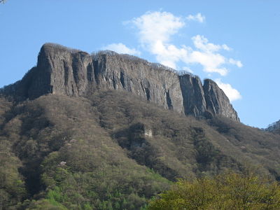
Mountain 1.3 km
Mt. Kumakura
Gunma ·24 incidents
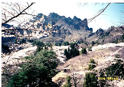
Mountain 2.5 km
Mt. Arafune
Gunma ·17 incidents
Mountain 3.1 km
Mt. Kabutoiwa
Nagano ·13 incidents
Mountain 3.3 km
Monomi Yama
物見山
Gunma ·31 incidents
Mountain 3.8 km
Tako No Mine
凧の峰
Nagano ·27 incidents
Mountain 4.5 km
Onba Yama
御場山
Gunma ·54 incidents
Mountain 4.5 km
Tateiwa
立岩
Gunma ·5 incidents
Mountain 5.0 km
Yori Ishiyama
寄石山
Nagano ·33 incidents
Comments (0)
No comments yet.
Hiking in bear country
Safety picks and trail essentials, top-rated on Amazon and Rakuten.

