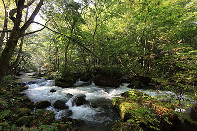
Location
Description
[Report] Passed through the rice fields from the western settlement, crossed National Route 282, and disappeared into the forest on the east side.
Note: Official sources provide information in Japanese only. This description has been machine translated for your convenience.
Bear Type
Black Bear
Number of Bears
1
Provider Type
Official
Date & Time
Wednesday, June 3, 2026 at 07:15 AM
Address
Kosaka Daichi, Akita
Coordinates
40.306498, 140.750613
Sources
Related Areas

Nearby places of interest
Community Centre 592 m
Fujikura Jichikai Kan
藤倉自治会館
Akita ·47 incidents
Mountain 914 m
Kameda Yama
亀田山
Akita ·359 incidents
Community Centre 950 m
Arakawa Kouminkan
荒川公民館
Akita ·58 incidents
Shrine or Temple 987 m
Shiwa Inari Jinja
志和稲荷神社
Akita ·40 incidents
Shrine or Temple 1.2 km
Hachimanjinja
八幡神社
Akita ·59 incidents
Community Centre 1.4 km
Shichi Taki Komyuniteiisentaa Hottoria
七滝コミュニティーセンター ほっとりあ
Akita ·55 incidents
Theme Park 1.8 km
Kosaka Tetsudou Reerupaaku
小坂鉄道レールパーク
Akita ·185 incidents
Hotel 1.9 km
Buruutorein Akebono
ブルートレインあけぼの
Akita ·116 incidents
Comments (0)
No comments yet.
Hiking in bear country
Safety picks and trail essentials, top-rated on Amazon and Rakuten.


