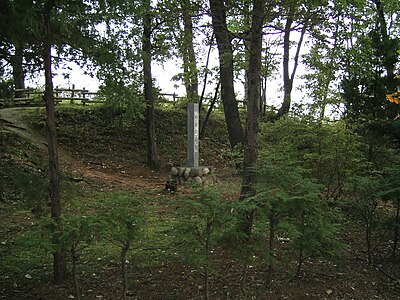
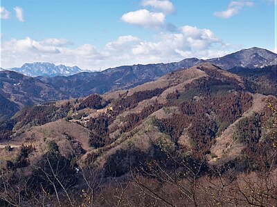
Kumamap Kumamap Kumamap
Map Areas Trip Planner Sponsor Alerts Report
English 日本語 한국어 简体中文 繁體中文 ไทย
Sign in
Sign in
Map Areas Trip Planner Sponsor Alerts Report
English 日本語 한국어 简体中文 繁體中文 ไทย
  1. Home
  2. Saitama
  3. Nagatoro
  4. Nagatoro 犬塚

Official Black Bear Nagatoro 犬塚, Saitama May 30, 2024, 02:30 PM

0 views
Saw one too? Report it

Location

Description

No description provided

Bear Type

Black Bear

Number of Bears

1

Provider Type

Official

Date & Time

Thursday, May 30, 2024 at 02:30 PM

Address

Nagatoro 犬塚, Saitama

Coordinates

36.115145, 139.098748

Sources

https://www.arcgis.com/apps/dashboards/6851a59c5a76496e9c9e3...

Related Areas

Saitama
High Risk

Saitama

758 incidents

Arakawa Bridge
Moderate Risk

Arakawa Bridge

Saitama

477 incidents

Tamayodo Dam
Moderate Risk

Tamayodo Dam

Saitama

301 incidents

Hachigata Castle
Moderate Risk

Hachigata Castle

Saitama

260 incidents

Shiro Mineyama
Moderate Risk

Shiro Mineyama

Saitama

242 incidents

Nagatoro
Low Risk

Nagatoro

Saitama

17 incidents

Saitama
High Risk

Saitama

758 incidents

Arakawa Bridge
Moderate Risk

Arakawa Bridge

Saitama

477 incidents

Tamayodo Dam
Moderate Risk

Tamayodo Dam

Saitama

301 incidents

Hachigata Castle
Moderate Risk

Hachigata Castle

Saitama

260 incidents

Shiro Mineyama
Moderate Risk

Shiro Mineyama

Saitama

242 incidents

Nagatoro
Low Risk

Nagatoro

Saitama

17 incidents

Nearby places of interest

Mountain 914 m

Tenguyama

天狗山

Saitama ·62 incidents

School 977 m

Chouritsu Nagatoro Chuugakkou

町立長瀞中学校

Saitama ·5 incidents

Train Station 1.1 km

Nogami

Saitama ·6 incidents

Kindergarten 1.2 km

Takasago Hoikuen

高砂保育園

Saitama ·5 incidents

Museum 1.4 km

Nagatoro Sougou Hakubutsukan

長瀞綜合博物館

Saitama ·4 incidents

School 1.4 km

Chouritsu Nagatoro Daiichi Shougakkou

町立長瀞第一小学校

Saitama ·4 incidents

Campground 1.5 km

Forest Sons Nagatoro

Saitama ·6 incidents

Mountain 1.7 km

Tenjin Yama

天神山

Saitama ·45 incidents

Comments (0)

0/2000

No comments yet.

Plan Your Trip Risk Map

Hiking in bear country

Safety picks and trail essentials, top-rated on Amazon and Rakuten.

Nearby Incidents

Official

Nagatoro 和田, Saitama

451 m

2 years ago

Nagatoro Nakanogami, Saitama
Community

Nagatoro Nakanogami, Saitama

567 m

2 months ago

Nagatoro 辻, Saitama
Official

Nagatoro 辻, Saitama

1.3 km

6 months ago

Nagatoro 辻, Saitama
Official

Nagatoro 辻, Saitama

1.3 km

6 months ago

Official

Nagatoro 辻, Saitama

1.3 km

8 months ago

Nagatoro Ido, Saitama
Community

Nagatoro Ido, Saitama

1.6 km

2 months ago

Official

Minano 出牛, Saitama

1.8 km

1 year ago

Official

Minano 出牛, Saitama

1.8 km

1 year ago

Official

Nagatoro 和田, Saitama

451 m

2 years ago

Nagatoro Nakanogami, Saitama
Community

Nagatoro Nakanogami, Saitama

567 m

2 months ago

Nagatoro 辻, Saitama
Official

Nagatoro 辻, Saitama

1.3 km

6 months ago

Nagatoro 辻, Saitama
Official

Nagatoro 辻, Saitama

1.3 km

6 months ago

Official

Nagatoro 辻, Saitama

1.3 km

8 months ago

Nagatoro Ido, Saitama
Community

Nagatoro Ido, Saitama

1.6 km

2 months ago

Official

Minano 出牛, Saitama

1.8 km

1 year ago

Official

Minano 出牛, Saitama

1.8 km

1 year ago

Kumamap Kumamap

Track bear incidents across Japan. Stay safe outdoors.

Explore

Map Account Areas Places of Interest Predictions Near Me Trip Planner Trip Reports Community Alerts Gear

Learn

Bear Safety Guides Blog News Data FAQ

Mobile

iOS App Android App LINE WhatsApp

Company

About Contact Report Sponsor

Legal

Privacy Terms Commercial Disclosure
© 2026 Kumamap