Official Black Bear Kitakata 高郷町西羽賀, Fukushima Jan 27, 2026, 02:30 AM
0 views
Location
Description
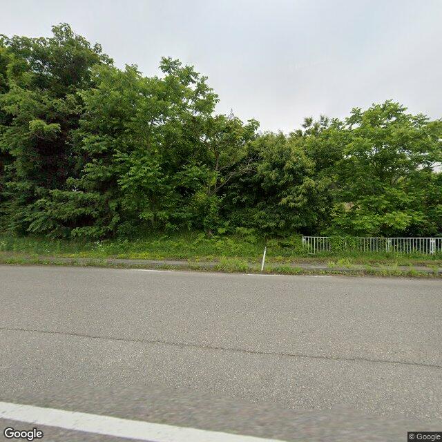
At around 11:30 AM on Tuesday, January 27, along the north-facing slope of Prefectural Route 340 within the Oshodō area of Nishihaga, Takago Town, Kitakata City, a witness (a man in his 60s) observed a bear about 50 cm long climbing the slope on the north side of the road while vehicles were passing. Its whereabouts after that are unknown.
Note: Official sources provide information in Japanese only. This description has been machine translated for your convenience.
Bear Type
Black Bear
Number of Bears
1
Provider Type
Official
Date & Time
Tuesday, January 27, 2026 at 02:30 AM
Address
Kitakata 高郷町西羽賀, Fukushima
Coordinates
37.602231, 139.753773
Sources
Related Areas

Nearby places of interest
Comments (1)
山好き 4 months ago
県道340号線で出てるんだ。
Hiking in bear country
Safety picks and trail essentials, top-rated on Amazon and Rakuten.