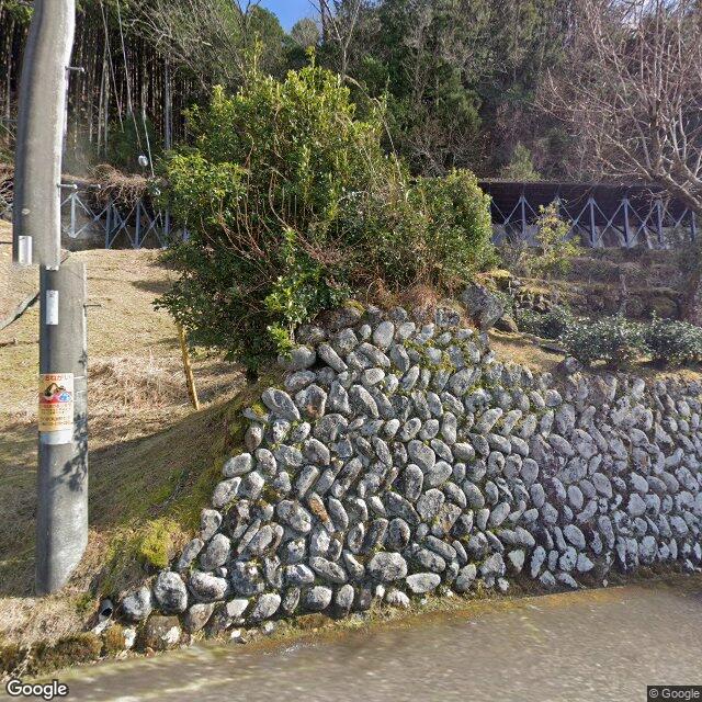
Kumamap Kumamap Kumamap
Map Areas Trip Planner Sponsor Alerts Report
English 日本語 한국어 简体中文 繁體中文 ไทย
Sign in
Sign in
Map Areas Trip Planner Sponsor Alerts Report
English 日本語 한국어 简体中文 繁體中文 ไทย
  1. Home
  2. Mie
  3. Kumano
  4. Kumano Asukacho-Kozaka
Incident photo 1

Official Black Bear Kumano Asukacho-Kozaka, Mie Dec 2, 2025

0 views
Saw one too? Report it

Location

Description

No description provided

Bear Type

Black Bear

Number of Bears

1

Provider Type

Official

Date & Time

Tuesday, December 2, 2025

Address

Kumano Asukacho-Kozaka, Mie

Coordinates

33.939400, 136.096332

Sources

https://map-pref-mie.maps.arcgis.com/apps/webappviewer/index...

Related Areas

Mie
Low Risk

Mie

204 incidents

Kumano
Low Risk

Kumano

Mie

60 incidents

Shichirimi Beach
Low Risk

Shichirimi Beach

Mie

47 incidents

Mie
Low Risk

Mie

204 incidents

Kumano
Low Risk

Kumano

Mie

60 incidents

Shichirimi Beach
Low Risk

Shichirimi Beach

Mie

47 incidents

Nearby places of interest

School 360 m

Shiritsu Asuka Chuugakkou

市立飛鳥中学校

Mie ·11 incidents

Community Centre 520 m

Kumano Shiritsu Kosaka Jidou Kan

熊野市立小阪児童館

Mie ·9 incidents

Shrine or Temple 791 m

Asuka Jinja

飛鳥神社

Mie ·9 incidents

Mountain 2.0 km

Mt. Ojamine

Mie ·25 incidents

Mountain 3.4 km

Mt. Ryumon

Mie ·20 incidents

Mountain 4.8 km

Mt. Tenjinmaru

Mie ·16 incidents

Comments (0)

0/2000

No comments yet.

Plan Your Trip Risk Map

Hiking in bear country

Safety picks and trail essentials, top-rated on Amazon and Rakuten.

Nearby Incidents

Official

Kumano Asukacho-Kozaka, Mie

262 m

10 months ago

Official

Kumano Asukacho-Kozaka, Mie

320 m

10 months ago

Official

Kumano Asukacho-Kozaka, Mie

399 m

1 year ago

Official

Kumano Asukacho-Kozaka, Mie

616 m

1 year ago

Official

Kumano Asukacho-Sawatari, Mie

661 m

8 months ago

Official

Kumano Asukacho-Sawatari, Mie

741 m

1 year ago

Official

Kumano Asukacho-Sawatari, Mie

776 m

1 year ago

Kumano Asukacho-Sawatari, Mie
Official

Kumano Asukacho-Sawatari, Mie

781 m

2 days ago

Official

Kumano Asukacho-Kozaka, Mie

262 m

10 months ago

Official

Kumano Asukacho-Kozaka, Mie

320 m

10 months ago

Official

Kumano Asukacho-Kozaka, Mie

399 m

1 year ago

Official

Kumano Asukacho-Kozaka, Mie

616 m

1 year ago

Official

Kumano Asukacho-Sawatari, Mie

661 m

8 months ago

Official

Kumano Asukacho-Sawatari, Mie

741 m

1 year ago

Official

Kumano Asukacho-Sawatari, Mie

776 m

1 year ago

Kumano Asukacho-Sawatari, Mie
Official

Kumano Asukacho-Sawatari, Mie

781 m

2 days ago

Kumamap Kumamap

Track bear incidents across Japan. Stay safe outdoors.

Explore

Map Account Areas Places of Interest Predictions Near Me Trip Planner Trip Reports Community Alerts Gear

Learn

Bear Safety Guides Blog News Data FAQ

Mobile

iOS App Android App LINE WhatsApp

Company

About Contact Report Sponsor

Legal

Privacy Terms Commercial Disclosure
© 2026 Kumamap