
Location
Description
On the road about 250 m north of Mukurosawa Bridge, one bear about 1 m long. Then headed toward the Yoneshiro River. About 400 m to a house west of the river; about 500 m to a house north of the river.
Note: Official sources provide information in Japanese only. This description has been machine translated for your convenience.
Bear Type
Black Bear
Number of Bears
1
Provider Type
Official
Date & Time
Tuesday, August 5, 2025 at 07:57 PM
Address
Kitaakita, Akita
Coordinates
40.250143, 140.405841
Sources
Related Areas

Nearby places of interest
Park 648 m
Kou Kurosawa Nouson Kouen
向黒沢農村公園
Akita ·9 incidents
Train Station 678 m
Nukazawa
Akita ·61 incidents
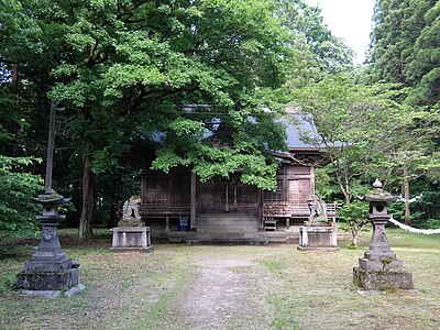
Shrine or Temple 841 m
Hachimanjinja
八幡神社
Akita ·39 incidents
Shrine or Temple 876 m
Kumano Jinja
熊野神社
Akita ·33 incidents
Shrine or Temple 1.1 km
Imaki Jinja
今木神社
Akita ·41 incidents
Mountain 3.8 km
Hachimaki Yama
鉢巻山
Akita ·493 incidents
Mountain 3.8 km
Anzan
鞍山
Akita ·206 incidents
Mountain 4.3 km
Iwakura Yama
岩鞍山
Akita ·354 incidents
Comments (0)
No comments yet.
Hiking in bear country
Safety picks and trail essentials, top-rated on Amazon and Rakuten.
