Location
Description
No description provided
Bear Type
Black Bear
Number of Bears
1
Provider Type
Official
Date & Time
Saturday, May 30, 2026 at 11:10 PM
Address
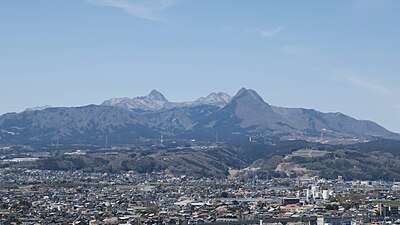
Nakanojō, Gunma
Coordinates
36.682954, 138.659244
Related Areas

Nearby places of interest
Mountain 1.4 km
Mt. Benten
Gunma ·11 incidents
Mountain 2.0 km
Mt. Ikaiwa no Kashira
Gunma ·7 incidents
Mountain 2.6 km
Mt. Hachiken
Gunma ·7 incidents
Mountain 3.5 km
Mt. Ebi
Gunma ·7 incidents
Mountain 3.6 km
Kuro Shibu No Atama
黒渋の頭
Gunma ·3 incidents
Mountain 4.6 km
Sou No Kurayama
相ノ倉山
Gunma ·2 incidents
Mountain 4.7 km
Nakao Ne No Atama
中尾根の頭
Gunma ·2 incidents
Mountain 4.7 km
Mt. Takazawa
Gunma ·2 incidents
Comments (0)
No comments yet.
Hiking in bear country
Safety picks and trail essentials, top-rated on Amazon and Rakuten.