Kumamap Kumamap Kumamap
Map Areas Trip Planner Sponsor Alerts Report
English 日本語 한국어 简体中文 繁體中文 ไทย
Sign in
Sign in
Map Areas Trip Planner Sponsor Alerts Report
English 日本語 한국어 简体中文 繁體中文 ไทย
  1. Home
  2. Fukushima
  3. Motomiya
  4. Motomiya 青田
Incident photo 1

News Black Bear Motomiya 青田, Fukushima Apr 13, 2026, 12:30 AM

0 views
Saw one too? Report it

Location

Description

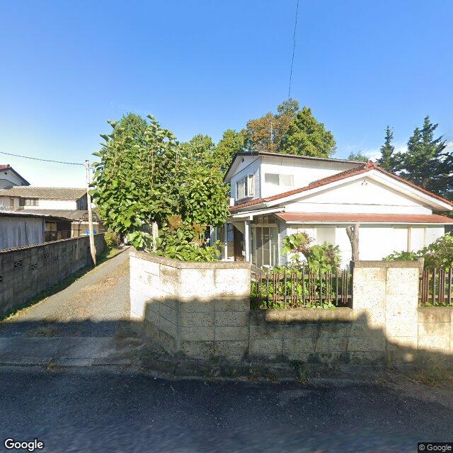
At around 09:30 on April 13, a woman in her 30s spotted one bear approximately 0.8 m long in the fields of Aota-maehara, Motomiya City. No human injuries were reported, and the police have urged local residents to remain cautious.

Note: Official sources provide information in Japanese only. This description has been machine translated for your convenience.

Bear Type

Black Bear

Number of Bears

1

Provider Type

News

Date & Time

Monday, April 13, 2026 at 12:30 AM

Address

Motomiya 青田, Fukushima

Coordinates

37.498587, 140.385290

Sources

https://news.yahoo.co.jp/articles/be8d5c7dbc2dfe4c1807014c43... https://news.ntv.co.jp/n/fct/category/society/fc5a07030ae4e9... https://news.yahoo.co.jp/articles/6922663f4b648a0eb16ff73dae...

Related Areas

Fukushima
Very High Risk

Fukushima

5,965 incidents

Nihonmatsu Castle
High Risk

Nihonmatsu Castle

Fukushima

1,073 incidents

Motomiya
Low Risk

Motomiya

Fukushima

41 incidents

Fukushima
Very High Risk

Fukushima

5,965 incidents

Nihonmatsu Castle
High Risk

Nihonmatsu Castle

Fukushima

1,073 incidents

Motomiya
Low Risk

Motomiya

Fukushima

41 incidents

Nearby places of interest

Train Station 1.8 km

Gohyakugawa

Fukushima ·3 incidents

Mountain 3.3 km

Daimyou Kurayama

大名倉山

Fukushima ·59 incidents

Train Station 1.8 km

Gohyakugawa

Fukushima ·3 incidents

Mountain 3.3 km

Daimyou Kurayama

大名倉山

Fukushima ·59 incidents

Comments (0)

0/2000

No comments yet.

Plan Your Trip Risk Map

Hiking in bear country

Safety picks and trail essentials, top-rated on Amazon and Rakuten.

Nearby Incidents

Official

Motomiya 青田, Fukushima

93 m

2 months ago

Official

Motomiya 青田, Fukushima

767 m

1 year ago

Official

Motomiya 仁井田, Fukushima

1.4 km

2 years ago

Official

Motomiya 青田, Fukushima

1.7 km

2 years ago

Official

Motomiya 青田, Fukushima

1.7 km

7 months ago

Official

Motomiya 青田, Fukushima

1.7 km

7 months ago

Official

Motomiya 青田, Fukushima

1.9 km

7 months ago

Official

Motomiya 青田, Fukushima

2.0 km

7 months ago

Official

Motomiya 青田, Fukushima

93 m

2 months ago

Official

Motomiya 青田, Fukushima

767 m

1 year ago

Official

Motomiya 仁井田, Fukushima

1.4 km

2 years ago

Official

Motomiya 青田, Fukushima

1.7 km

2 years ago

Official

Motomiya 青田, Fukushima

1.7 km

7 months ago

Official

Motomiya 青田, Fukushima

1.7 km

7 months ago

Official

Motomiya 青田, Fukushima

1.9 km

7 months ago

Official

Motomiya 青田, Fukushima

2.0 km

7 months ago

Kumamap Kumamap

Track bear incidents across Japan. Stay safe outdoors.

Explore

Map Account Areas Places of Interest Predictions Near Me Trip Planner Trip Reports Community Alerts Gear

Learn

Bear Safety Guides Blog News Data FAQ

Mobile

iOS App Android App LINE WhatsApp

Company

About Contact Report Sponsor

Legal

Privacy Terms Commercial Disclosure
© 2026 Kumamap