Official Black Bear Gotsu Matsukawacho-Ota, Shimane May 21, 2026, 09:45 PM
0 views
Location
Description
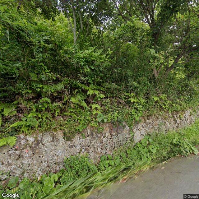
At approximately 6:45 a.m. on May 22, 2026, on a municipal road in Asari Town, one adult bear about 1 meter in body length.
Note: Official sources provide information in Japanese only. This description has been machine translated for your convenience.
Bear Type
Black Bear
Number of Bears
1
Provider Type
Official
Date & Time
Thursday, May 21, 2026 at 09:45 PM
Address
Gotsu Matsukawacho-Ota, Shimane
Coordinates
35.035058, 132.255609
Related Areas
Nearby places of interest
School 448 m
Shiritsu Kirisuto Kyou Ai Makoto Koutougakkou
私立キリスト教愛真高等学校
Shimane ·11 incidents
Mountain 1.2 km
Mt. Murokami
Shimane ·41 incidents
Kindergarten 1.4 km
Asari Hoikusho
あさり保育所
Shimane ·13 incidents
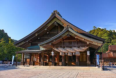
Shrine or Temple 1.4 km
Asari Ebisu Jinja
浅利恵比須神社
Shimane ·13 incidents
Train Station 1.8 km
Asari
Shimane ·18 incidents
Mountain 4.4 km
Mt. Ono
Shimane ·43 incidents
Mountain 4.7 km
Takahata Shiroyama
高畑城山
Shimane ·39 incidents
Comments (0)
No comments yet.
Hiking in bear country
Safety picks and trail essentials, top-rated on Amazon and Rakuten.
