Kumamap Kumamap Kumamap
Map Areas Trip Planner Sponsor Alerts Report
English 日本語 한국어 简体中文 繁體中文 ไทย
Sign in
Sign in
Map Areas Trip Planner Sponsor Alerts Report
English 日本語 한국어 简体中文 繁體中文 ไทย
  1. Home
  2. Fukushima
  3. Aizumisato
  4. Katsudai Okubo, Aizubange Town
Incident photo 1

News Black Bear Katsudai Okubo, Aizubange Town, Fukushima Nov 10, 2025, 05:00 AM

0 views
Saw one too? Report it

Location

Description

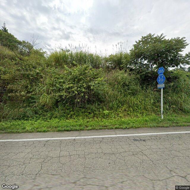
Around 05:00 on the 10th, a single cub was sighted on a prefectural road in Katsudai Okubo, Aizubange Town, Fukushima Prefecture; its body length was not reported. The bear's subsequent whereabouts are unknown, no damage to people or property has been confirmed, and police are sharing information with related agencies and patrolling the area.

Note: Official sources provide information in Japanese only. This description has been machine translated for your convenience.

Bear Type

Black Bear

Number of Bears

1

Provider Type

News

Date & Time

Monday, November 10, 2025 at 05:00 AM

Address

Katsudai Okubo, Aizubange Town, Fukushima

Coordinates

37.529382, 139.794311

Sources

https://news.yahoo.co.jp/articles/472360ed509af1dd8846f0e3fc...

Related Areas

Fukushima
Very High Risk

Fukushima

5,995 incidents

Fukushima Museum
High Risk

Fukushima Museum

Fukushima

1,752 incidents

Aizuwakamatsu Castle
High Risk

Aizuwakamatsu Castle

Fukushima

1,750 incidents

No. 3 Tadamigawa Bridge
Moderate Risk

No. 3 Tadamigawa Bridge

Fukushima

461 incidents

Aizumisato
Low Risk

Aizumisato

Fukushima

285 incidents

Fukushima
Very High Risk

Fukushima

5,995 incidents

Fukushima Museum
High Risk

Fukushima Museum

Fukushima

1,752 incidents

Aizuwakamatsu Castle
High Risk

Aizuwakamatsu Castle

Fukushima

1,750 incidents

No. 3 Tadamigawa Bridge
Moderate Risk

No. 3 Tadamigawa Bridge

Fukushima

461 incidents

Aizumisato
Low Risk

Aizumisato

Fukushima

285 incidents

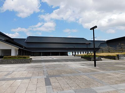
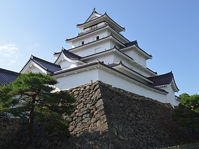
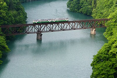
Nearby places of interest

Playground 843 m

Deto Tazawa Nouson Kouen

出戸田沢農村公園

Fukushima ·16 incidents

Mountain 2.8 km

Umatate Yama

馬立山

Fukushima ·154 incidents

Playground 843 m

Deto Tazawa Nouson Kouen

出戸田沢農村公園

Fukushima ·16 incidents

Mountain 2.8 km

Umatate Yama

馬立山

Fukushima ·154 incidents

Comments (0)

0/2000

No comments yet.

Plan Your Trip Risk Map

Hiking in bear country

Safety picks and trail essentials, top-rated on Amazon and Rakuten.

Nearby Incidents

Official

Aizubange 大字勝大, Fukushima

46 m

7 months ago

Official

Aizubange 大字勝大, Fukushima

191 m

7 months ago

Official

Aizubange 大字勝大, Fukushima

215 m

1 year ago

Official

Aizubange 大字勝大, Fukushima

262 m

7 months ago

Official

Aizumisato 小沢, Fukushima

419 m

2 years ago

Official

Aizumisato 小沢, Fukushima

901 m

8 months ago

Official

Aizumisato 小沢, Fukushima

914 m

8 months ago

Official

Aizumisato 小沢, Fukushima

956 m

8 months ago

Official

Aizubange 大字勝大, Fukushima

46 m

7 months ago

Official

Aizubange 大字勝大, Fukushima

191 m

7 months ago

Official

Aizubange 大字勝大, Fukushima

215 m

1 year ago

Official

Aizubange 大字勝大, Fukushima

262 m

7 months ago

Official

Aizumisato 小沢, Fukushima

419 m

2 years ago

Official

Aizumisato 小沢, Fukushima

901 m

8 months ago

Official

Aizumisato 小沢, Fukushima

914 m

8 months ago

Official

Aizumisato 小沢, Fukushima

956 m

8 months ago

Kumamap Kumamap

Track bear incidents across Japan. Stay safe outdoors.

Explore

Map Account Areas Places of Interest Predictions Near Me Trip Planner Trip Reports Community Alerts Gear

Learn

Bear Safety Guides Blog News Data FAQ

Mobile

iOS App Android App LINE WhatsApp

Company

About Contact Report Sponsor

Legal

Privacy Terms Commercial Disclosure
© 2026 Kumamap