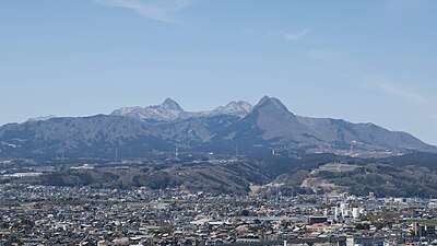
Location
Description
No description provided
Bear Type
Black Bear
Number of Bears
1
Provider Type
Official
Date & Time
Friday, June 6, 2025
Address
Takasaki 中里見町, Gunma
Coordinates
36.358178, 138.900959
Related Areas

Nearby places of interest
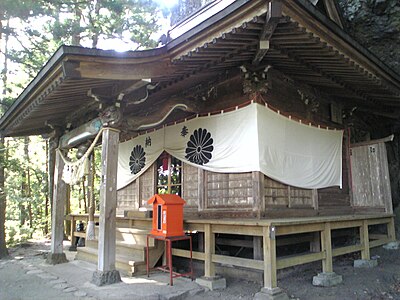
Shrine or Temple 60 m
Asamajinja
浅間神社
Gunma ·1 incidents
Golf Course 590 m
Shimoakima Kantoriikurabu
下秋間カントリークラブ
Gunma ·2 incidents
Golf Course 944 m
Washi No Mine Kantoriikurabu
鷲の峯カントリークラブ
Gunma ·1 incidents
Golf Course 1.1 km
The raysum
THE RAYSUM
Gunma ·1 incidents
Shrine or Temple 1.3 km
Sato Kenshin Sha
郷見神社
Gunma ·1 incidents
Comments (0)
No comments yet.
Hiking in bear country
Safety picks and trail essentials, top-rated on Amazon and Rakuten.