Location
Description
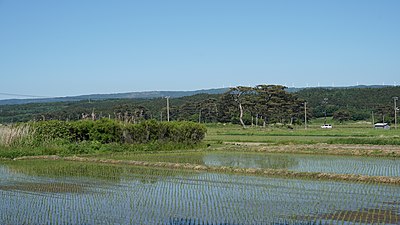
[Post] Crossed National Route 7 from the seaward side to the inland side.
Note: Official sources provide information in Japanese only. This description has been machine translated for your convenience.
Bear Type
Black Bear
Number of Bears
1
Provider Type
Official
Date & Time
Sunday, June 1, 2025 at 09:28 PM
Address
Nikaho 大塩越, Akita
Coordinates
39.224263, 139.904250
Sources
Related Areas

Nearby places of interest
Community Centre 432 m
Nikaho outdoor base
NIKAHO OUTDOOR BASE
Akita ·12 incidents
Shrine or Temple 535 m
Sai No Kamigami Sha
才ノ神神社
Akita ·12 incidents
Viewpoint 557 m
Viewroom 6th floor
展望塔
Akita ·14 incidents
Onsen 566 m
Tenbou Onsen Chou Umi No Yu
展望温泉 眺海の湯
Akita ·14 incidents
Viewpoint 732 m
Koma Ryuu Shima
駒留島
Akita ·17 incidents
Park 774 m
Sai No Kami Kouen
才ノ神公園
Akita ·9 incidents
Shrine or Temple 898 m
Kisa Man Tera
蚶満寺
Akita ·13 incidents
Shrine or Temple 961 m
Ryuujin Sha
龍神社
Akita ·13 incidents
Comments (0)
No comments yet.
Hiking in bear country
Safety picks and trail essentials, top-rated on Amazon and Rakuten.


