Official Black Bear Komatsu Kamimugikuchimachi, Ishikawa Aug 29, 2024, 05:20 PM
0 views
Location
Description
Moved from the edge of National Route 360 toward the mountains.
Note: Official sources provide information in Japanese only. This description has been machine translated for your convenience.
Bear Type
Black Bear
Number of Bears
1
Provider Type
Official
Date & Time
Thursday, August 29, 2024 at 05:20 PM
Address
Komatsu Kamimugikuchimachi, Ishikawa
Coordinates
36.372441, 136.552582
Related Areas
Nearby places of interest
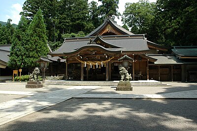
Shrine or Temple 176 m
Koyasu Jinja Shrine
Ishikawa ·5 incidents
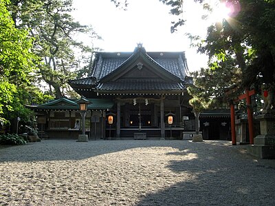
Shrine or Temple 711 m
Takemichi Jinja Shrine
Ishikawa ·6 incidents
Mountain 2.4 km
Oomine
大峰
Ishikawa ·119 incidents
Mountain 2.5 km
Mt. Umenoki
Ishikawa ·202 incidents
Mountain 3.0 km
Hi Tou Yama
火燈山
Ishikawa ·162 incidents
Mountain 3.2 km
Kannon Yama ( Yarimizu Yama )
観音山(遣水山)
Ishikawa ·333 incidents
Mountain 4.3 km
Shiroyama
城山
Ishikawa ·189 incidents
Comments (0)
No comments yet.
Hiking in bear country
Safety picks and trail essentials, top-rated on Amazon and Rakuten.