Location
Description
Witness traveling north on Mizuho-no-Sato Road toward Ota, saw a bear in the river; subsequent movements unknown. Size unknown. About 60 m to a house.
Note: Official sources provide information in Japanese only. This description has been machine translated for your convenience.
Bear Type
Black Bear
Number of Bears
1
Provider Type
Official
Date & Time
Friday, October 10, 2025 at 06:10 AM
Address
Misato, Akita
Coordinates
39.460327, 140.621690
Sources
Related Areas


Nearby places of interest
Shrine or Temple 431 m
Jinmei Sha
神明社
Akita ·48 incidents
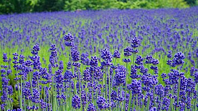
Park 678 m
Misato Machi Rabendaa Sono
美郷町ラベンダー園
Akita ·23 incidents
Park 748 m
Odaino Park
Akita ·21 incidents
Castle Ruins 1.7 km
Ichi Take Ki Iseki Joumonjidai Juukyoato
一丈木遺跡 縄文時代住居跡
Akita ·108 incidents
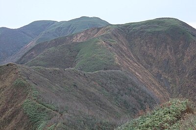
Mountain 3.2 km
Tenguyama
天狗山
Akita ·334 incidents
Mountain 4.9 km
Mt. Mahiru
Akita ·22 incidents
Mountain 5.0 km
Eitai Hachiyama
永代鉢山
Akita ·108 incidents
Comments (0)
No comments yet.
Hiking in bear country
Safety picks and trail essentials, top-rated on Amazon and Rakuten.