


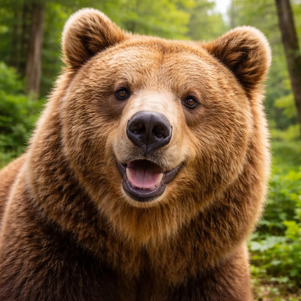
홋카이도 불곰
Ursus arctos yesoensis
- 서식지
- 홋카이도
- 몸무게
- 200~400 kg
- 활동 시간
- 새벽・황혼
안전하게 공존하기
- ·걸으면서 소리를 내어 존재를 알린다
- ·곰 격퇴 스프레이를 휴대; 돌진 시 5m 거리에서 분사
- ·접촉 시 엎드려 손깍지로 목 뒤를 보호한다. 움직임이 멈추면 대개 떠난다
- ·뛰지 말고 나무에도 오르지 말 것
새로운 여행 계획으로 저장됩니다. 원본 리포트는 그대로 유지됩니다.
Chitose에서 오타루 운하까지, 홋카이도 안을 지나는 총 398 km 경로입니다. 지난 30일 동안 경로 5km 이내에서 곰 출몰이 16건 보고되었습니다. 이 중 최근 7일 동안의 보고는 8건입니다. 가장 최근 출몰은 2일 전 Chitose, Hokkaido 부근에서 보고되었습니다.
최근 출몰 밀도를 고려할 때 출발 시간 변경이나 다른 트레일 선택을 권장합니다.

Izumisawa: Around 3:50 PM. Approximately 200 meters from under the Dōō Expressway overpass on Shinmachi Izumisawa Boulevard toward Kōyōdai. One bear sighted.
Chitose, Hokkaido
[No.38] Thursday, July 2, 2026: Location: Near 7-1 Hitsujigaoka, Toyohira Ward Description: Brown bear sighted Address: https://www.google.com/maps?q=42.987397,141.392806
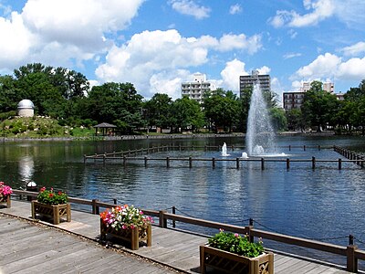
Sapporo Hitsujigaoka, Hokkaido
[No.35] Tuesday, June 30, 2026: Location: Near 147 Ariake, Kiyota Ward Description: Brown bear (Higuma) confirmed on camera Address: https://www.google.com/maps?q=42.951171,141.447323
Sapporo Ariake, Hokkaido

Sakuragi 3-chome — Around 9:30 AM — In the woods between Yūmai Sukoyaka Park and the Dōō Expressway — One bear sighted
Chitose, Hokkaido

Report No. 24 — June 13, 2026 (Saturday): Location: Near 1 Hitsujigaoka, Toyohira Ward. Description: Brown bear confirmed on camera. Address: https://www.google.com/maps?q=43.005025,141.420409
Sapporo Hitsujigaoka, Hokkaido

[18] Bibi, around 5:00 PM — One bear sighted at a point about 1 kilometer from the Shinchitose Airport IC intersection on the Dodo Izumisawa–New Chitose Airport Line (Route 1091) toward New Chitose Airport.
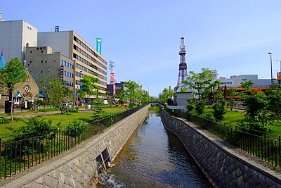
Chitose, Hokkaido

R8.07.05 (Footprints)
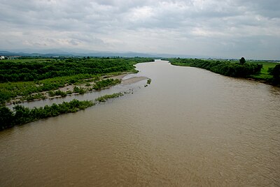
Biei 字夕張, Hokkaido

R8.07.04 (sighting)
Biei 字明治, Hokkaido

No. 21 R8.7.3 Sighting
Asahikawa 西神楽五線, Hokkaido
R8.07.02 (sighting)
Biei 字美田, Hokkaido

R8.06.22 (Possibly bear droppings)
Biei 字美沢, Hokkaido
13:00에 피크 활동, 1건의 출몰
Ursus arctos yesoensis
Amazon·Rakuten 고평점 제품에서 엄선한 곰 대비와 등산 장비.
산악 구조는 110번(경찰)에 전화하세요. 지역 구조대와 협력합니다.
아직 댓글이 없습니다.
지난 30일 동안 경로 5km 이내에서 곰 출몰이 16건 보고되었습니다. 이 중 최근 7일 동안의 보고는 8건입니다.
가장 최근 출몰은 2일 전 Chitose, Hokkaido 부근에서 보고되었습니다.
이 경로의 최근 목격은 13시경에 절정입니다. 곰은 일반적으로 새벽과 해질녘에 가장 활발합니다.
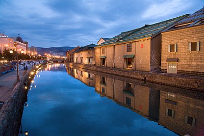
Chitose에서 오타루 운하까지, 홋카이도 안을 지나는 총 398 km 경로입니다. 지난 30일 동안 경로 5km 이내에서 곰 출몰이 16건 보고되었습니다. 이 중 최근 7일 동안의 보고는 8건입니다. 가장 최근 출몰은 2일 전 Chitose, Hokkaido 부근에서 보고되었습니다. 최근 출몰 밀도를 고려할 때 출발 시간 변경이나 다른 트레일 선택을 권장합니다.
