Kumamap Kumamap Kumamap
Map Areas Trip Planner Sponsor Alerts Report
English 日本語 한국어 简体中文 繁體中文 ไทย
Sign in
Sign in
Map Areas Trip Planner Sponsor Alerts Report
English 日本語 한국어 简体中文 繁體中文 ไทย
  1. Home
  2. Fukushima
  3. Koriyama
  4. Koriyama 逢瀬町河内
Incident photo 1

Official Black Bear Koriyama 逢瀬町河内, Fukushima Jan 20, 2026, 07:00 AM

0 views
Saw one too? Report it

Location

Description

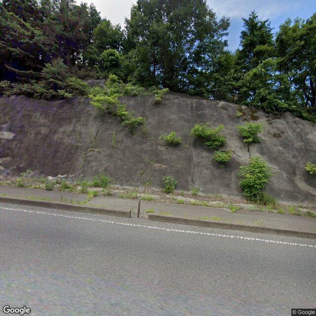
While driving, one bear (size unknown) was seen crossing the road.

Note: Official sources provide information in Japanese only. This description has been machine translated for your convenience.

Bear Type

Black Bear

Number of Bears

1

Provider Type

Official

Date & Time

Tuesday, January 20, 2026 at 07:00 AM

Address

Koriyama 逢瀬町河内, Fukushima

Coordinates

37.413409, 140.270241

Sources

https://www.pref.fukushima.lg.jp/uploaded/life/873913_256664...

Related Areas

Fukushima
Very High Risk

Fukushima

6,020 incidents

Lake Inawashiro
Very High Risk

Lake Inawashiro

Fukushima

1,584 incidents

Koriyama
Low Risk

Koriyama

Fukushima

382 incidents

Fukushima
Very High Risk

Fukushima

6,020 incidents

Lake Inawashiro
Very High Risk

Lake Inawashiro

Fukushima

1,584 incidents

Koriyama
Low Risk

Koriyama

Fukushima

382 incidents

Nearby places of interest

Park 398 m

Ouse Kouen

逢瀬公園

Fukushima ·16 incidents

School 594 m

Kawauchi Shougakkou

河内小学校

Fukushima ·19 incidents

Mountain 2.7 km

Takahiro Yama

高広山

Fukushima ·69 incidents

Park 398 m

Ouse Kouen

逢瀬公園

Fukushima ·16 incidents

School 594 m

Kawauchi Shougakkou

河内小学校

Fukushima ·19 incidents

Mountain 2.7 km

Takahiro Yama

高広山

Fukushima ·69 incidents

Comments (1)

0/2000

Lorelei NeutralLisa Wischofskyhttps://www.figma.com/community/file/1198749693280469639https://creativecommons.org/publicdomain/zero/1.0/Remix of „Lorelei Neutral” (https://www.figma.com/community/file/1198749693280469639) by „Lisa Wischofsky”, licensed under „CC0 1.0” (https://creativecommons.org/publicdomain/zero/1.0/)
Jen M 5 months ago

Mid-January and they're still moving through residential roads in Koriyama.

Plan Your Trip Risk Map

Hiking in bear country

Safety picks and trail essentials, top-rated on Amazon and Rakuten.

Nearby Incidents

Official

Koriyama 逢瀬町河内, Fukushima

205 m

1 month ago

Official

Koriyama 逢瀬町河内, Fukushima

273 m

1 month ago

Official

Kōriyama 逢瀬町河内, Fukushima

321 m

2 years ago

Official

Koriyama 逢瀬町河内, Fukushima

349 m

1 month ago

Koriyama 逢瀬町河内, Fukushima
News

Koriyama 逢瀬町河内, Fukushima

395 m

1 month ago

Koriyama, Fukushima
News

Koriyama, Fukushima

491 m

1 month ago

Official

Kōriyama 逢瀬町河内, Fukushima

502 m

1 year ago

Official

Kōriyama 逢瀬町河内, Fukushima

530 m

1 year ago

Official

Koriyama 逢瀬町河内, Fukushima

205 m

1 month ago

Official

Koriyama 逢瀬町河内, Fukushima

273 m

1 month ago

Official

Kōriyama 逢瀬町河内, Fukushima

321 m

2 years ago

Official

Koriyama 逢瀬町河内, Fukushima

349 m

1 month ago

Koriyama 逢瀬町河内, Fukushima
News

Koriyama 逢瀬町河内, Fukushima

395 m

1 month ago

Koriyama, Fukushima
News

Koriyama, Fukushima

491 m

1 month ago

Official

Kōriyama 逢瀬町河内, Fukushima

502 m

1 year ago

Official

Kōriyama 逢瀬町河内, Fukushima

530 m

1 year ago

Kumamap Kumamap

Track bear incidents across Japan. Stay safe outdoors.

Explore

Map Account Areas Places of Interest Predictions Near Me Trip Planner Trip Reports Community Alerts Gear

Learn

Bear Safety Guides Blog News Data FAQ

Mobile

iOS App Android App LINE WhatsApp

Company

About Contact Report Sponsor

Legal

Privacy Terms Commercial Disclosure
© 2026 Kumamap