Official Black Bear Semboku Tazawako-Tazawa, Akita Nov 13, 2025, 12:00 PM
0 views
Location
Description
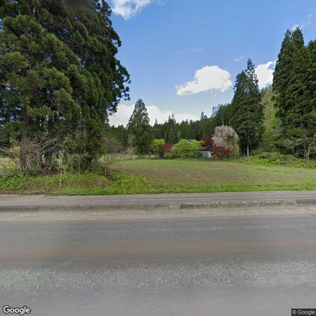
Posted: A bear was in the rice fields along National Route 341. Length about 1 m. Distance and departure direction unknown.
Note: Official sources provide information in Japanese only. This description has been machine translated for your convenience.
Bear Type
Black Bear
Number of Bears
1
Provider Type
Official
Date & Time
Thursday, November 13, 2025 at 12:00 PM
Address
Semboku Tazawako-Tazawa, Akita
Coordinates
39.771001, 140.689330
Sources
Related Areas


Nearby places of interest
Shrine or Temple 1.3 km
Hai Jinja ( Douro Nashi )
廃神社(道路なし)
Akita ·21 incidents
Mountain 2.3 km
Mt. Takabachi
Akita ·111 incidents
Mountain 2.7 km
Mt. Sasamori
Akita ·175 incidents
Mountain 3.5 km
Tengu Forest
Akita ·75 incidents
Mountain 3.6 km
Mt. Takabachi
Akita ·82 incidents
Mountain 4.6 km
Kashiyama
柏山
Akita ·200 incidents
Comments (0)
No comments yet.
Hiking in bear country
Safety picks and trail essentials, top-rated on Amazon and Rakuten.