Location
Description
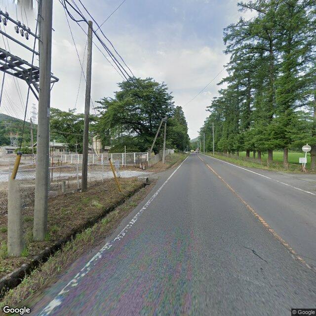
Posted: Around 6:50 PM on Friday, December 19, in Fukushima City, Arai, Jizohara area, on National Route 115; a witness in her 50s saw one bear about 1 m crossing the road.
Note: Official sources provide information in Japanese only. This description has been machine translated for your convenience.
Bear Type
Black Bear
Number of Bears
1
Provider Type
Official
Date & Time
Friday, December 19, 2025 at 06:50 PM
Address
Fukushima Arai, Fukushima
Coordinates
37.702056, 140.354343
Sources
Related Areas

Nearby places of interest
Hotel 866 m
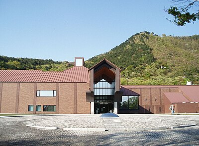
Fukushima Ken Jichi Kenshuu Sentaa
福島県自治研修センター
Fukushima ·109 incidents
Mountain 1.0 km
Kongou Yama
金剛山
Fukushima ·314 incidents
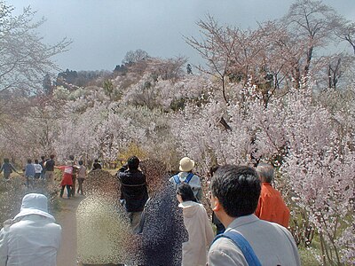
Theme Park 1.4 km
Shiki No Sato
四季の里
Fukushima ·175 incidents
Mountain 3.2 km
Nakasaku Yama
中作山
Fukushima ·275 incidents
Mountain 4.6 km
Tatami Ishiyama
畳石山
Fukushima ·159 incidents
Mountain 4.6 km
Tsuga Mori
栂森
Fukushima ·160 incidents
Comments (1)
ちか 5 months ago
国道115号の夕方に出てるんだ。
Hiking in bear country
Safety picks and trail essentials, top-rated on Amazon and Rakuten.